Transport Functions
Port
Hub Profile
Place type
Local administrative seat
Region
Guangdong
Time zone
Asia/Shanghai
Elevation
126 m
Logistics facilities
5
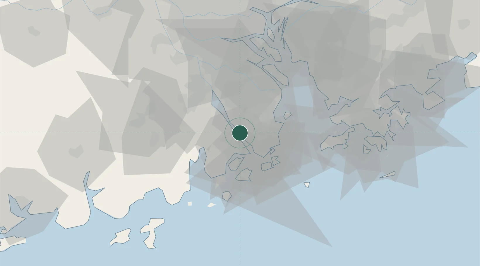
Location
Nearby Logistics Neighbours
Cities
- 1Zhongshan20 km
- 2Qianshan/Zhuhai20 km
- 3Doumen Pt21 km
- 4Shadui21 km
- 5Zhuhai21 km
Ports
- 1Zhuhai27 km
- 2Macau28 km
- 3Shekou57 km
- 4Huangpuxingang84 km
- 5Huangpu87 km
Airports
DatabookThe Record of Consolidated Knowledge
China beyond logistics?