UN/LOCODE hub · China
CNDOU

Doumen Pt

22.2418°, 113.5249°
1
Transport functions

Transport Functions

Port
UN/LOCODE

Hub Profile

Region
GD
GeoNames
Logistics facilities
6
UN/LOCODE

Location

Location of CNDOU
Natural Earth 10m (public domain) · GD · CNDOU · 22.24, 113.52GoogleOSMYandex

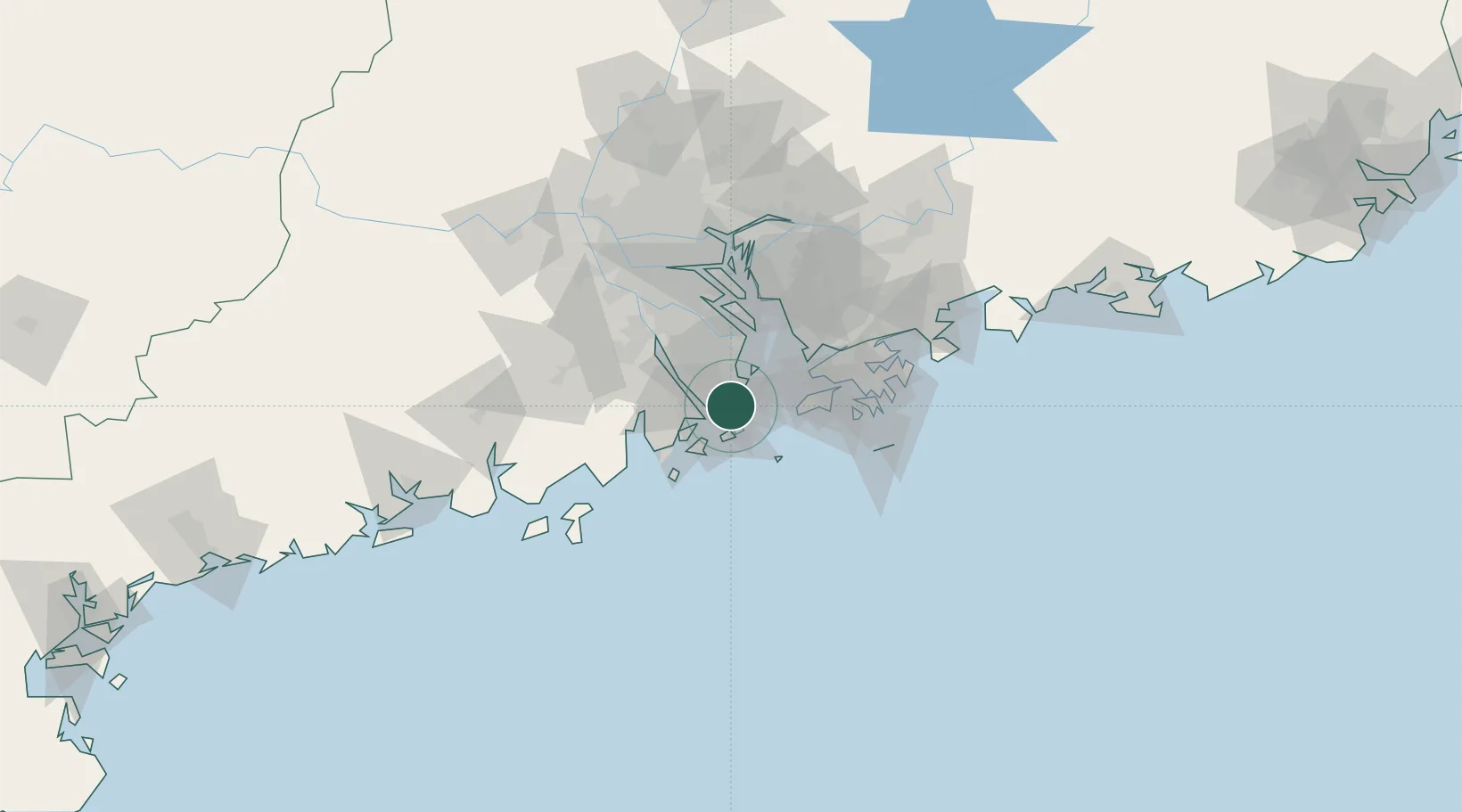
Nearby Logistics Neighbours

Cities
  1. 1Qianshan/Zhuhai1 km
  2. 2Wanzai7 km
  3. 3Macau7 km
  4. 4Zhuhai10 km
  5. 5Shenwan21 km
Nearest neighbours — logibook spatial index (haversine) over the source coordinates
Ports
  1. 1Zhuhai6 km
  2. 2Macau8 km
  3. 3Shekou43 km
  4. 4Hong Kong70 km
  5. 5Yantian85 km
Nearest neighbours — logibook spatial index (haversine) over the source coordinates
Airports
  1. 1Macau International Airport12 km
  2. 2Zhuhai Jinwan Airport30 km
  3. 3Hong Kong International Airport41 km
  4. 4Shenzhen Bao'an International Airport53 km
  5. 5Shek Kong Air Base61 km
Nearest neighbours — logibook spatial index (haversine) over the source coordinates
Trade Zones
  1. 1Zhuhai Jinwan Liangang Industrial Park29 km
  2. 2Zhongshan Industrial Park36 km
  3. 3Zhongshan Industrial Park43 km
  4. 4Guangzhou Nansha Export Processing Zone51 km
  5. 5Jiangmen Xinhui Economic Development Zone51 km
Nearest neighbours — logibook spatial index (haversine) over the source coordinates
DatabookThe Record of Consolidated Knowledge
China beyond logistics?
Browse databook

All Sources

LocationsUN/LOCODE
UN/LOCODE — free
Portsthe NGA World Port Index
Public domain (US gov)
AirportsOurAirports
Public domain
Trade Zonesthe World Bank SEZ database
CC BY 4.0
Trade ZonesOpen Zone Map
CC BY
← China locations