UN/LOCODE hub · China
CNGOM

Gaoming Pt

22.5880°, 113.4374°
1
Transport functions

Transport Functions

Port
UN/LOCODE

Hub Profile

Region
GD
GeoNames
Logistics facilities
7
UN/LOCODE

Location

Location of CNGOM
Natural Earth 10m (public domain) · GD · CNGOM · 22.59, 113.44GoogleOSMYandex

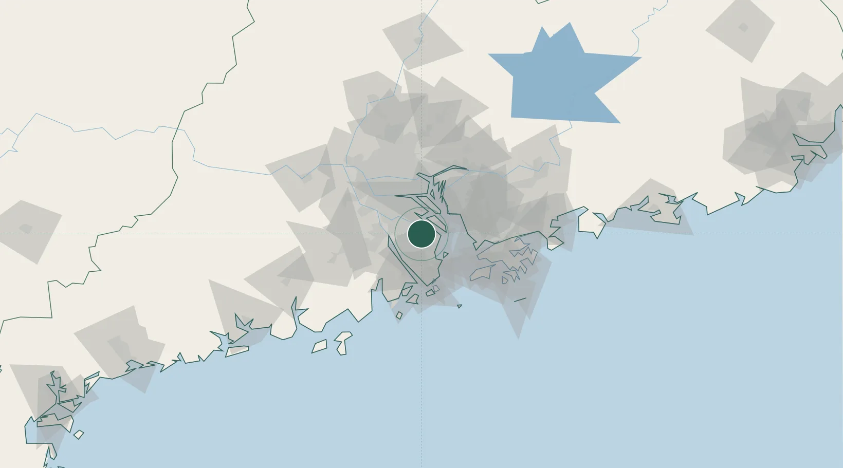
Nearby Logistics Neighbours

Cities
  1. 1Zhangjiabian4 km
  2. 2Zhongshan17 km
  3. 3Xiaolan19 km
  4. 4Shunde Pt23 km
  5. 5Jiangmen23 km
Nearest neighbours — logibook spatial index (haversine) over the source coordinates
Ports
  1. 1Zhuhai42 km
  2. 2Shekou46 km
  3. 3Macau47 km
  4. 4Huangpuxingang52 km
  5. 5Huangpu55 km
Nearest neighbours — logibook spatial index (haversine) over the source coordinates
Airports
  1. 1Shenzhen Bao'an International Airport38 km
  2. 2Macau International Airport51 km
  3. 3Hong Kong International Airport58 km
  4. 4Zhuhai Jinwan Airport65 km
  5. 5Foshan Shadi Airport67 km
Nearest neighbours — logibook spatial index (haversine) over the source coordinates
Trade Zones
  1. 1Zhongshan Industrial Park5 km
  2. 2Zhongshan Industrial Park18 km
  3. 3Guangzhou Nansha Export Processing Zone19 km
  4. 4Shunde High-tech Industrial Development Zone29 km
  5. 5Jiangmen Xinhui Economic Development Zone40 km
Nearest neighbours — logibook spatial index (haversine) over the source coordinates
DatabookThe Record of Consolidated Knowledge
China beyond logistics?
Browse databook

All Sources

LocationsUN/LOCODE
UN/LOCODE — free
Portsthe NGA World Port Index
Public domain (US gov)
AirportsOurAirports
Public domain
Trade Zonesthe World Bank SEZ database
CC BY 4.0
Trade ZonesOpen Zone Map
CC BY
← China locations