Export Processing Zone · China

Jiangmen Xinhui Economic Development Zone Active
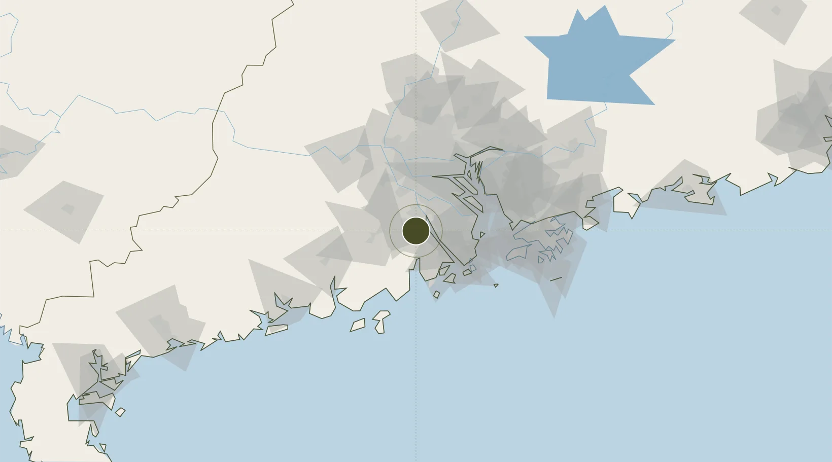
22.4469°, 113.0789°
705 ha
Zone area
57.1 km
Nearest port
57.7 km
Nearest airport

Gateway access

Nearest neighbours — logibook spatial index (haversine) over the source coordinates

Zone profile

Zone type
Export Processing Zone
Open Zone Map
Region
Guangdong
Open Zone Map
Status
Active
Open Zone Map
Management
Public
Open Zone Map
Operator
Working Committee of Jiangmen Xinhui Economic Development Zone
Open Zone Map
Legal framework
Controlled Detailed Planning of Xinhui Economic Development Zone, Lingang Three Zones, Urban and Rural Planning Law of the People's Republic of China, Regulations of Guangdong Province on The Administration of Controlled Detailed Planning of Guangdong Pro
Open Zone Map

Location

Location of ozm-1205
Natural Earth 10m (public domain) · Guangdong · ozm-1205 · 22.45, 113.08GoogleOSMYandex

Nearby Logistics Neighbours

Ports
  1. 1Zhuhai57 km
  2. 2Macau58 km
  3. 3Guangzhou76 km
  4. 4Huangpu79 km
  5. 5Huangpuxingang80 km
Nearest neighbours — logibook spatial index (haversine) over the source coordinates
Airports
  1. 1Zhuhai Jinwan Airport58 km
  2. 2Macau International Airport62 km
  3. 3Foshan Shadi Airport71 km
  4. 4Shenzhen Bao'an International Airport77 km
  5. 5Hong Kong International Airport87 km
Nearest neighbours — logibook spatial index (haversine) over the source coordinates
Cities
  1. 1Xinhui Pt5 km
  2. 2Jinguzhou10 km
  3. 3Daze14 km
  4. 4Waihai16 km
  5. 5Jiangmen17 km
Nearest neighbours — logibook spatial index (haversine) over the source coordinates
DatabookThe Record of Consolidated Knowledge
China beyond logistics?
Browse databook

All Sources

Trade ZonesOpen Zone Map
CC BY
Portsthe NGA World Port Index
Public domain (US gov)
AirportsOurAirports
Public domain
LocationsUN/LOCODE
UN/LOCODE — free
← China trade zones