Transport Functions
Port
Hub Profile
Region
SD
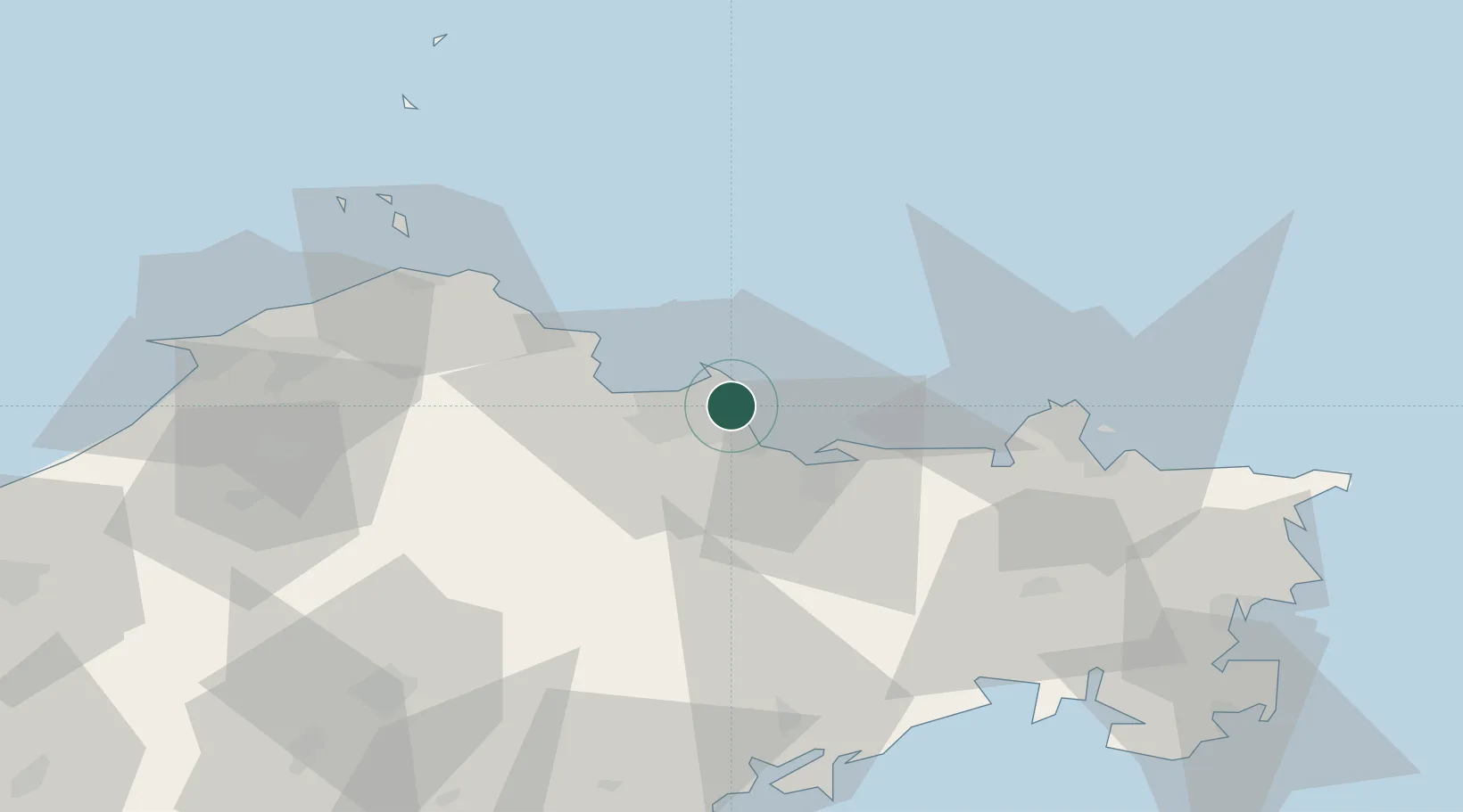
Location
Nearby Logistics Neighbours
Cities
- 1Yantai4 km
- 2Penglai Pt65 km
- 3Weihai Pt66 km
- 4Weihai67 km
- 5Wendeng69 km
Ports
- 1Penglai59 km
- 2Weihai61 km
- 3Longkou Gang100 km
- 4Lushun138 km
- 5Dalian154 km
Airports
Trade Zones
DatabookThe Record of Consolidated Knowledge
China beyond logistics?