UN/LOCODE hub · China
CNYAT
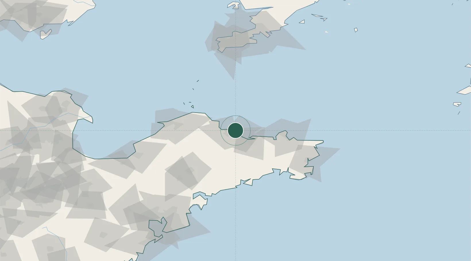
Yantai
37.5628°, 121.3800°
2,227,733
Population
6
Transport functions
1
Container terminals
Transport Functions
Port
Rail
Road
Airport
Multimodal
Postal
Hub Profile
Place type
Populated place
Region
Shandong
Population
2,227,733
Time zone
Asia/Shanghai
Elevation
22 m
Logistics facilities
3
Container terminals
1
Location
Nearby Logistics Neighbours
Cities
- 1Yantai Pt4 km
- 2Penglai Pt61 km
- 3Weihai Pt70 km
- 4Weihai70 km
- 5Wendeng73 km
Ports
- 1Yantai6 km
- 2Penglai56 km
- 3Weihai64 km
- 4Longkou Gang97 km
- 5Lushun136 km
Airports
Trade Zones
DatabookThe Record of Consolidated Knowledge
China beyond logistics?