Transport Functions
Port
Hub Profile
Region
LN
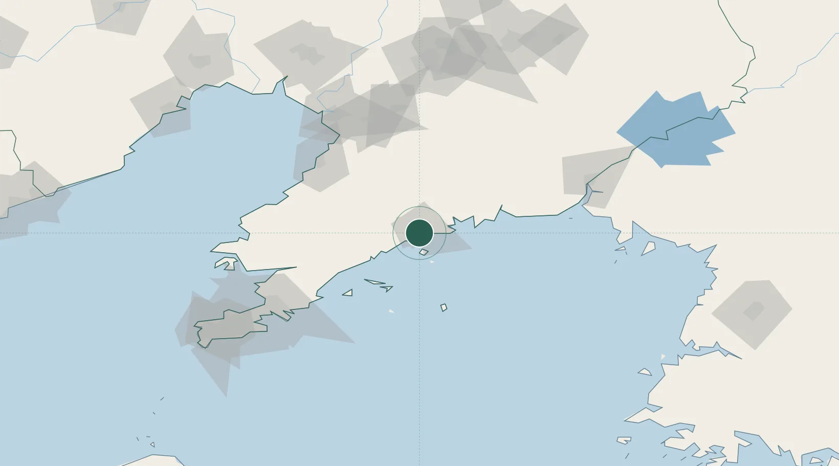
Location
Nearby Logistics Neighbours
Cities
- 1Sikuaishi56 km
- 2Dalu Island64 km
- 3Yangshufang76 km
- 4Songshu77 km
- 5Garberville85 km
Airports
- 1Changhai Dachangshandao Airport53 km
- 2Pulandian Air Base85 km
- 3Laohutun Air Base103 km
- 4Yingkou Lanqi Airport109 km
- 5Sanshilipu Air Base112 km
DatabookThe Record of Consolidated Knowledge
China beyond logistics?