Transport Functions
Rail
Road
Multimodal
Hub Profile
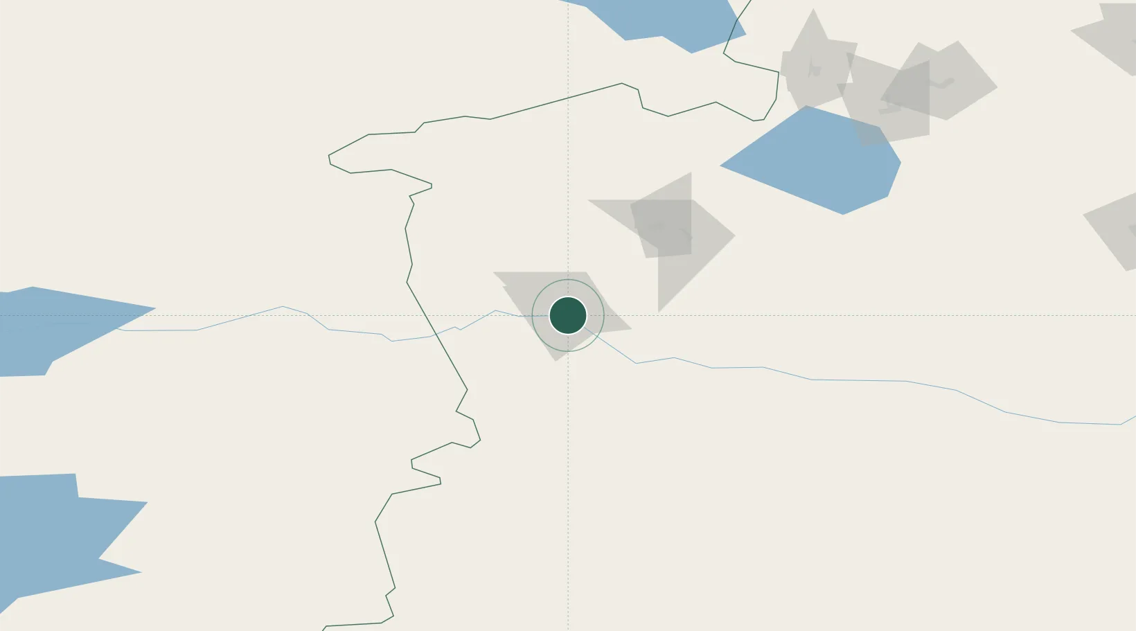
Place type
District seat
Region
Xinjiang
Time zone
Asia/Urumqi
Elevation
792 m
Location
Nearby Logistics Neighbours
Cities
- 1Horgos43 km
- 2Alatawshankou166 km
- 3Dosytk174 km
- 4Alashankou175 km
- 5Dushanzi285 km
Ports
- 1Calcutta2461 km
- 2Muhamamad Bin Qasim2479 km
- 3Karachi2494 km
- 4Mongla2503 km
- 5Haldia Port2513 km
Airports
- 1Yining Airport4 km
- 2Zhaosu Tianma Airport93 km
- 3Bole Alashankou Airport133 km
- 4Xinyuan Nalati Airport173 km
- 5Hejing Bayinbuluke Airport239 km
DatabookThe Record of Consolidated Knowledge
China beyond logistics?