UN/LOCODE hub · China
CNAKL

Alatawshankou

45.1833°, 82.4333°
3
Transport functions

Transport Functions

Rail
Road
Fixed Transport
UN/LOCODE

Hub Profile

Region
XJ
GeoNames

Location

Location of CNAKL
Natural Earth 10m (public domain) · XJ · CNAKL · 45.18, 82.43GoogleOSMYandex

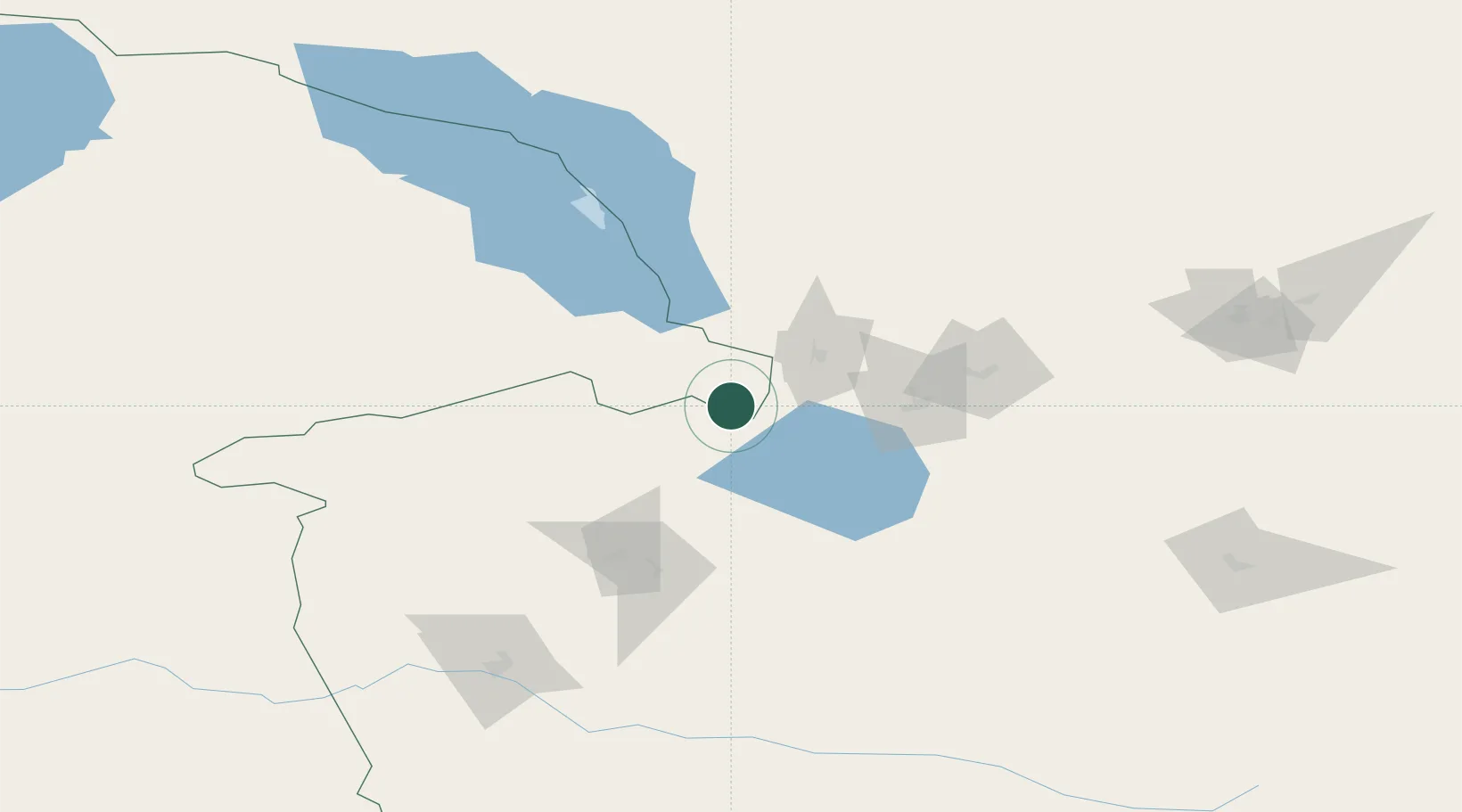
Nearby Logistics Neighbours

Cities
  1. 1Dosytk8 km
  2. 2Alashankou13 km
  3. 3Yining166 km
  4. 4Horgos179 km
  5. 5Dushanzi213 km
Nearest neighbours — logibook spatial index (haversine) over the source coordinates
Ports
  1. 1Igarka2489 km
  2. 2Calcutta2573 km
  3. 3Mongla2609 km
  4. 4Haldia Port2627 km
  5. 5Muhamamad Bin Qasim2644 km
Nearest neighbours — logibook spatial index (haversine) over the source coordinates
Airports
  1. 1Bole Alashankou Airport34 km
  2. 2Yining Airport162 km
  3. 3Usharal Airport168 km
  4. 4Tacheng Qianquan Airport180 km
  5. 5Karamay Airport200 km
Nearest neighbours — logibook spatial index (haversine) over the source coordinates
Trade Zones
  1. 1Jinghe Industrial Park76 km
  2. 2Nine Division Baktu Industrial Park170 km
  3. 3Xinjiang Huocheng Economic Development Zone176 km
  4. 4Yinan Industrial Park190 km
  5. 5Karamay Cloud Computing Industrial Park191 km
Nearest neighbours — logibook spatial index (haversine) over the source coordinates
DatabookThe Record of Consolidated Knowledge
China beyond logistics?
Browse databook

All Sources

LocationsUN/LOCODE
UN/LOCODE — free
Portsthe NGA World Port Index
Public domain (US gov)
AirportsOurAirports
Public domain
Trade Zonesthe World Bank SEZ database
CC BY 4.0
Trade ZonesOpen Zone Map
CC BY
← China locations