Small airport · China

Yining AirportZWYN

43.9558°, 81.3303°
7,874 ft
Longest runway
1
Runways

Runway & Layout

Yining Airport runway & taxiway layout
Runway & taxiway layout — OpenStreetMap (ODbL) / OurAirports

Runways · 1

RunwayDimensions SurfaceTrue headingLit
06/24 7,874 × 148ft
OurAirports

Airport Specifications

IATA code
YIN
OurAirports
ICAO code
ZWYN
OurAirports
Airport class
Small airport
OurAirports
Scheduled service
Yes
OurAirports
Served city
Ili (Yining / Ghulja)
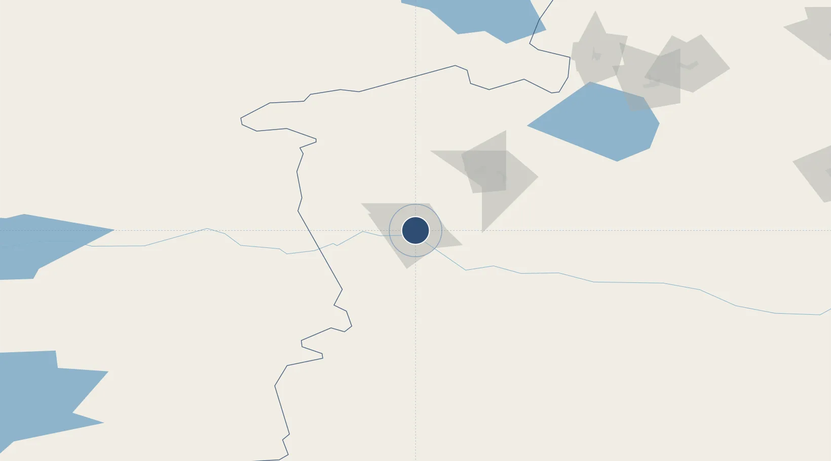
OurAirports

Location

Location of ZWYN
Natural Earth 10m (public domain) · Xinjiang · ZWYN · 43.96, 81.33GoogleOSMYandex

Nearby Logistics Neighbours

Airports
  1. 1Zhaosu Tianma Airport97 km
  2. 2Bole Alashankou Airport130 km
  3. 3Xinyuan Nalati Airport175 km
  4. 4Hejing Bayinbuluke Airport241 km
  5. 5Usharal Airport252 km
Nearest neighbours — logibook spatial index (haversine) over the source coordinates
Cities
  1. 1Yining4 km
  2. 2Horgos41 km
  3. 3Alatawshankou162 km
  4. 4Dosytk170 km
  5. 5Alashankou171 km
Nearest neighbours — logibook spatial index (haversine) over the source coordinates
Ports
  1. 1Calcutta2465 km
  2. 2Muhamamad Bin Qasim2482 km
  3. 3Karachi2497 km
  4. 4Mongla2507 km
  5. 5Haldia Port2517 km
Nearest neighbours — logibook spatial index (haversine) over the source coordinates
Trade Zones
  1. 1Yinan Industrial Park34 km
  2. 2Xinjiang Huocheng Economic Development Zone38 km
  3. 3XPCC Horgos Port Industrial Park79 km
  4. 4ICBC Khorgos Special Economic Zone82 km
  5. 5Khorgos East Gate Special Economic Zone91 km
Nearest neighbours — logibook spatial index (haversine) over the source coordinates
DatabookThe Record of Consolidated Knowledge
China beyond logistics?
Browse databook

All Sources

AirportsOurAirports
Public domain
Portsthe NGA World Port Index
Public domain (US gov)
LocationsUN/LOCODE
UN/LOCODE — free
Trade Zonesthe World Bank SEZ database
CC BY 4.0
Trade ZonesOpen Zone Map
CC BY
InfrastructureOpenStreetMap
ODbL 1.0
← China airports