Transport Functions
Rail
Road
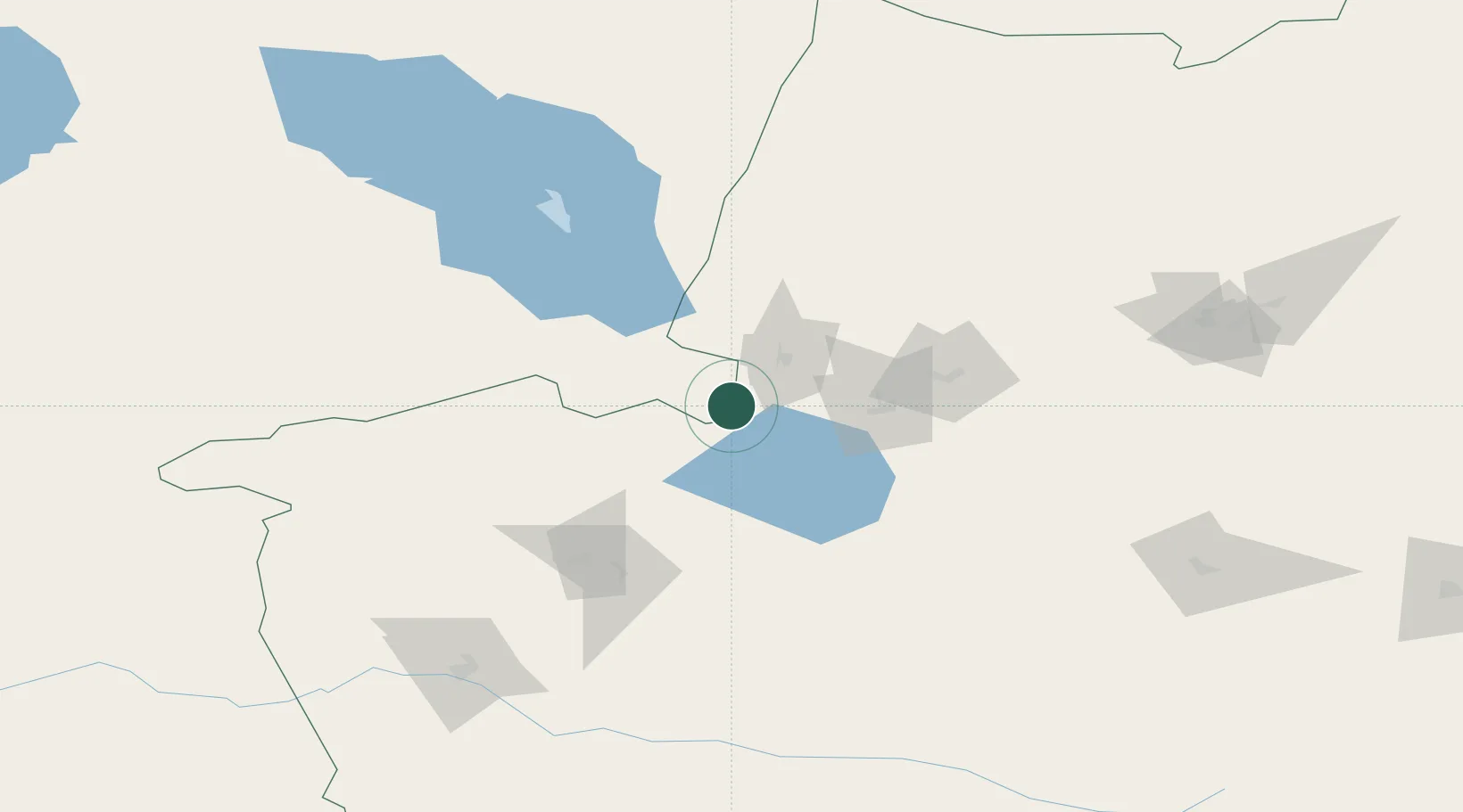
Location
Nearby Logistics Neighbours
Cities
- 1Dosytk11 km
- 2Alatawshankou13 km
- 3Yining175 km
- 4Horgos190 km
- 5Dushanzi202 km
Ports
- 1Igarka2486 km
- 2Calcutta2572 km
- 3Mongla2607 km
- 4Haldia Port2626 km
- 5Muhamamad Bin Qasim2653 km
Airports
- 1Bole Alashankou Airport41 km
- 2Yining Airport171 km
- 3Tacheng Qianquan Airport174 km
- 4Usharal Airport176 km
- 5Karamay Airport186 km
Trade Zones
DatabookThe Record of Consolidated Knowledge
Kazakhstan beyond logistics?