Export Processing Zone · Kazakhstan

Khorgos East Gate Special Economic Zone Active
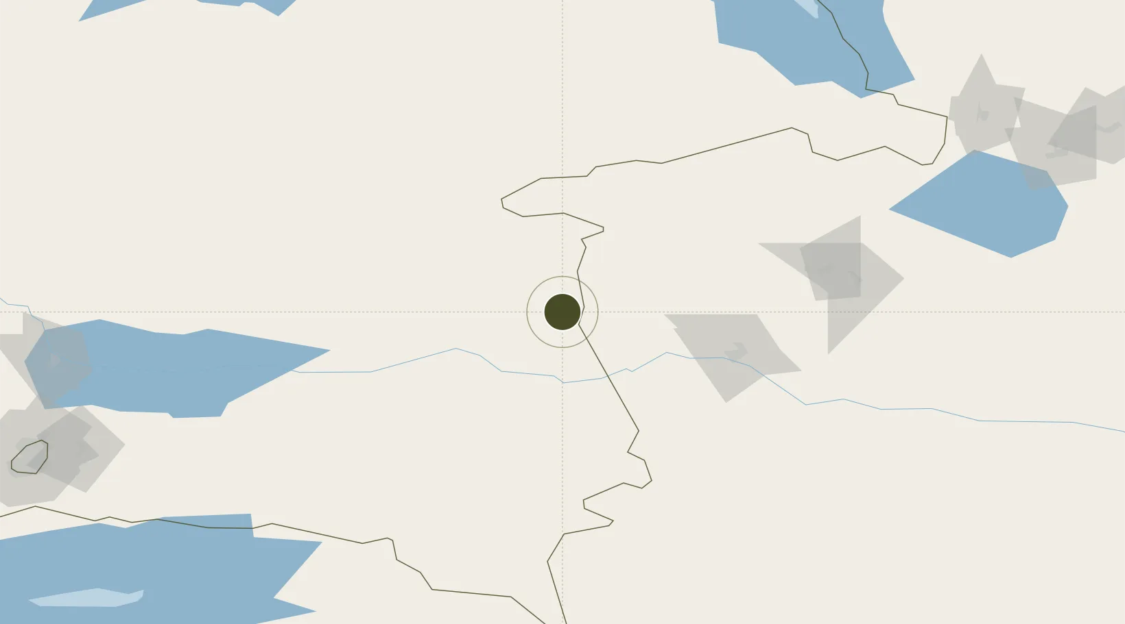
44.1997°, 80.2377°
4,592 ha
Zone area
2,455.7 km
Nearest port
91.4 km
Nearest airport

Gateway access

Nearest neighbours — logibook spatial index (haversine) over the source coordinates

Zone profile

Zone type
Export Processing Zone
Open Zone Map
Region
Almaty
Open Zone Map
Status
Active
Open Zone Map
Management
Public
Open Zone Map
Operator
JSC "Management Company of SEZ" Khorgos - Eastern Gate "
Open Zone Map
Legal framework
Decree of the President of the Republic of Kazakhstan dated November 29, 2011 No. 187
Open Zone Map

Location

Location of ozm-2647
Natural Earth 10m (public domain) · Almaty · ozm-2647 · 44.20, 80.24GoogleOSMYandex

Nearby Logistics Neighbours

Ports
  1. 1Muhamamad Bin Qasim2456 km
  2. 2Karachi2470 km
  3. 3Calcutta2519 km
  4. 4Kandla2525 km
  5. 5Navlakhi2526 km
Nearest neighbours — logibook spatial index (haversine) over the source coordinates
Airports
  1. 1Yining Airport91 km
  2. 2Zhaosu Tianma Airport147 km
  3. 3Taldykorgan Airport175 km
  4. 4Bole Alashankou Airport181 km
  5. 5Usharal Airport226 km
Nearest neighbours — logibook spatial index (haversine) over the source coordinates
Cities
  1. 1Horgos50 km
  2. 2Yining93 km
  3. 3Alatawshankou205 km
  4. 4Dosytk212 km
  5. 5Alashankou217 km
Nearest neighbours — logibook spatial index (haversine) over the source coordinates
Trade Zones
  1. 1ICBC Khorgos Special Economic Zone12 km
  2. 2XPCC Horgos Port Industrial Park14 km
  3. 3Xinjiang Huocheng Economic Development Zone53 km
  4. 4Yinan Industrial Park109 km
  5. 5Jinghe Industrial Park213 km
Nearest neighbours — logibook spatial index (haversine) over the source coordinates
DatabookThe Record of Consolidated Knowledge
Kazakhstan beyond logistics?
Browse databook

All Sources

Trade ZonesOpen Zone Map
CC BY
Portsthe NGA World Port Index
Public domain (US gov)
AirportsOurAirports
Public domain
LocationsUN/LOCODE
UN/LOCODE — free
← Kazakhstan trade zones