Runway & Layout

Airport Specifications
IATA code
HJB
ICAO code
ZWHJ
Airport class
Small airport
Scheduled service
Yes
Served city
Hejing
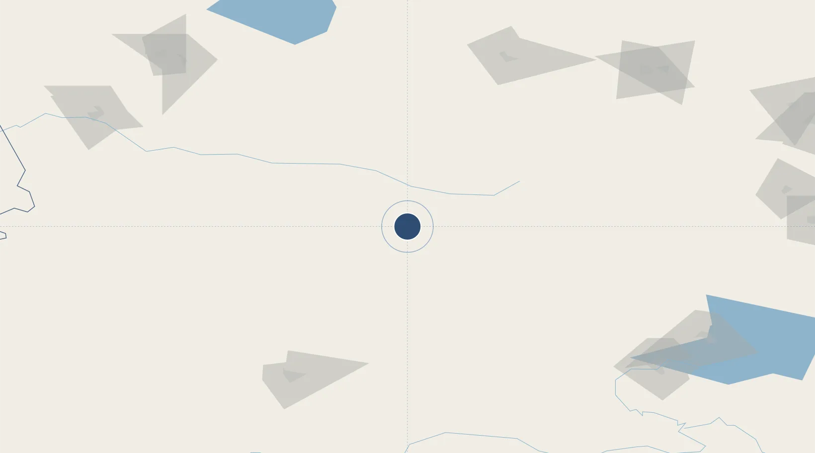
Location
Nearby Logistics Neighbours
Airports
- 1Xinyuan Nalati Airport71 km
- 2Kuqa Qiuci Airport171 km
- 3Shihezi Huayuan Airport208 km
- 4Zhaosu Tianma Airport226 km
- 5Korla Licheng Airport233 km
Cities
- 1Dushanzi166 km
- 2Manas232 km
- 3Yining239 km
- 4Alashankou271 km
- 5Alatawshankou275 km
Ports
- 1Calcutta2306 km
- 2Mongla2339 km
- 3Haldia Port2361 km
- 4Chittagong2408 km
- 5Muhamamad Bin Qasim2532 km
Trade Zones
DatabookThe Record of Consolidated Knowledge
China beyond logistics?