Transport Functions
Rail
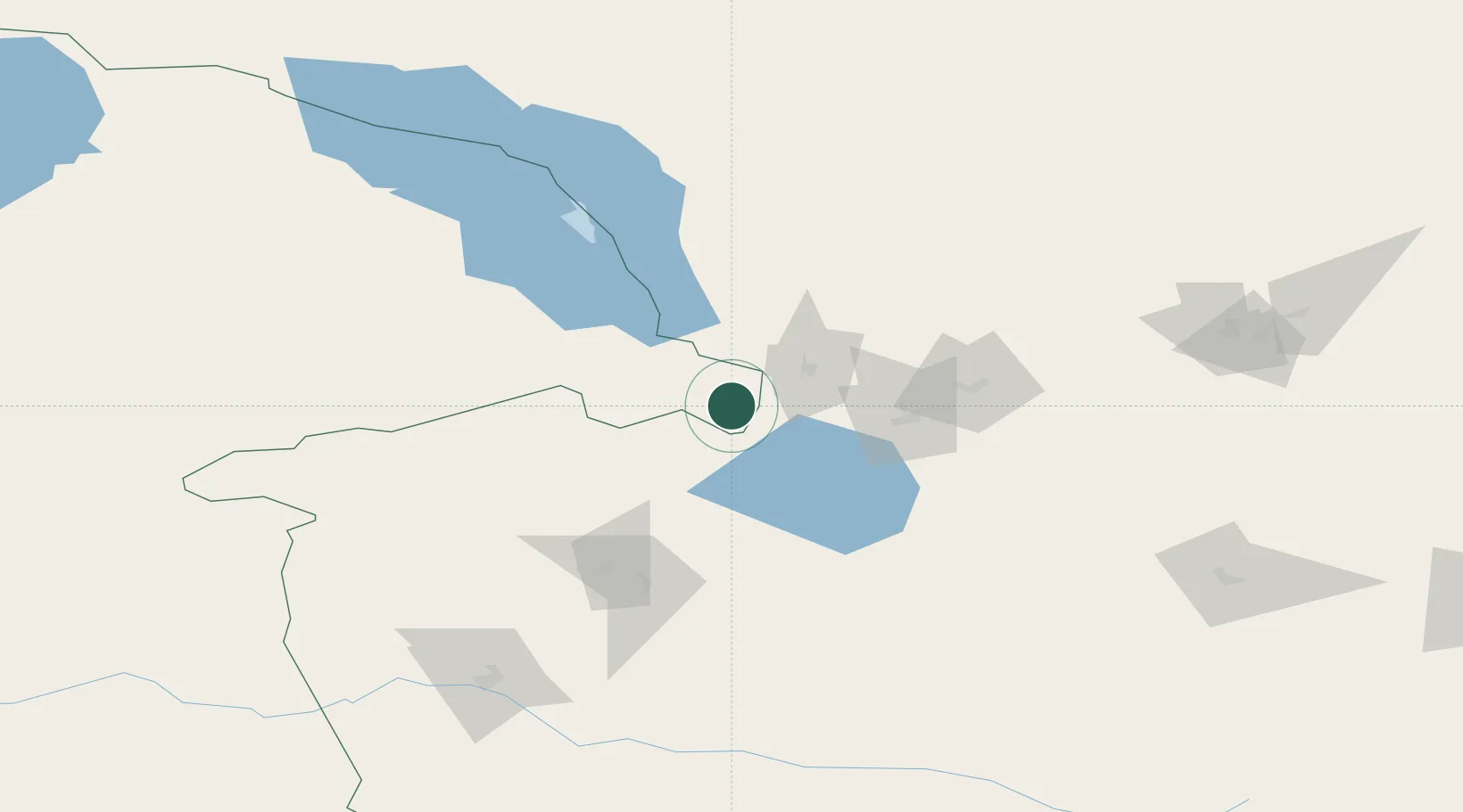
Hub Profile
Region
75
Logistics facilities
1
Location
Nearby Logistics Neighbours
Cities
- 1Alatawshankou8 km
- 2Alashankou11 km
- 3Yining174 km
- 4Horgos187 km
- 5Dushanzi213 km
Ports
- 1Igarka2481 km
- 2Calcutta2580 km
- 3Mongla2615 km
- 4Haldia Port2633 km
- 5Muhamamad Bin Qasim2652 km
Airports
- 1Bole Alashankou Airport42 km
- 2Usharal Airport166 km
- 3Yining Airport170 km
- 4Tacheng Qianquan Airport172 km
- 5Karamay Airport194 km
Trade Zones
DatabookThe Record of Consolidated Knowledge
Kazakhstan beyond logistics?