Export Processing Zone · China

XPCC Horgos Port Industrial Park Active
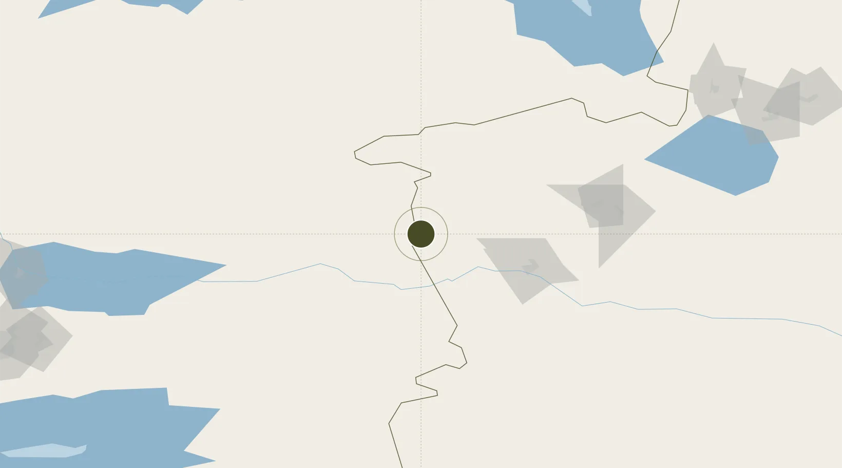
44.2191°, 80.4122°
1,791 ha
Zone area
2,465.0 km
Nearest port
79.0 km
Nearest airport

Gateway access

Nearest neighbours — logibook spatial index (haversine) over the source coordinates

Zone profile

Zone type
Export Processing Zone
Open Zone Map
Region
Xinjiang
Open Zone Map
Status
Active
Open Zone Map
Management
Public
Open Zone Map
Operator
Horguos Port Industrial Park Construction Management Committee
Open Zone Map
Legal framework
Horguos Port Industrial Park in 2010 approved the establishment of the Corps level industrial park.
Open Zone Map

Location

Location of ozm-1335
Natural Earth 10m (public domain) · Xinjiang · ozm-1335 · 44.22, 80.41GoogleOSMYandex

Nearby Logistics Neighbours

Ports
  1. 1Muhamamad Bin Qasim2465 km
  2. 2Karachi2479 km
  3. 3Calcutta2516 km
  4. 4Kandla2533 km
  5. 5Navlakhi2534 km
Nearest neighbours — logibook spatial index (haversine) over the source coordinates
Airports
  1. 1Yining Airport79 km
  2. 2Zhaosu Tianma Airport142 km
  3. 3Bole Alashankou Airport167 km
  4. 4Taldykorgan Airport185 km
  5. 5Usharal Airport222 km
Nearest neighbours — logibook spatial index (haversine) over the source coordinates
Cities
  1. 1Horgos39 km
  2. 2Yining81 km
  3. 3Alatawshankou192 km
  4. 4Dosytk200 km
  5. 5Alashankou204 km
Nearest neighbours — logibook spatial index (haversine) over the source coordinates
Trade Zones
  1. 1ICBC Khorgos Special Economic Zone3 km
  2. 2Khorgos East Gate Special Economic Zone14 km
  3. 3Xinjiang Huocheng Economic Development Zone41 km
  4. 4Yinan Industrial Park99 km
  5. 5Jinghe Industrial Park199 km
Nearest neighbours — logibook spatial index (haversine) over the source coordinates
DatabookThe Record of Consolidated Knowledge
China beyond logistics?
Browse databook

All Sources

Trade ZonesOpen Zone Map
CC BY
Portsthe NGA World Port Index
Public domain (US gov)
AirportsOurAirports
Public domain
LocationsUN/LOCODE
UN/LOCODE — free
← China trade zones