Transport Functions
Rail
Road
Fixed Transport
Hub Profile
Region
XJ
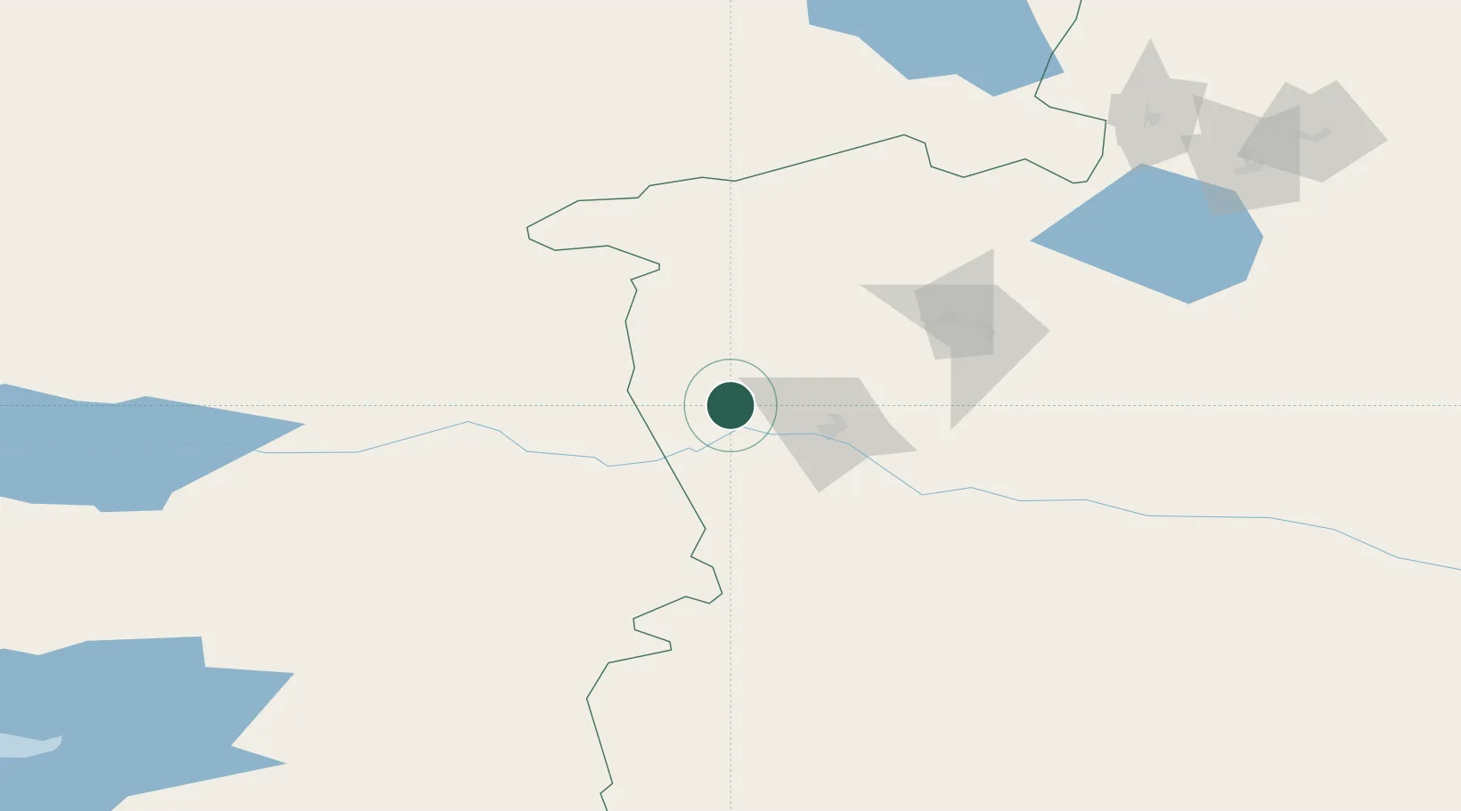
Location
Nearby Logistics Neighbours
Cities
- 1Yining43 km
- 2Alatawshankou179 km
- 3Dosytk187 km
- 4Alashankou190 km
- 5Dushanzi322 km
Ports
- 1Muhamamad Bin Qasim2468 km
- 2Karachi2483 km
- 3Calcutta2488 km
- 4Kandla2531 km
- 5Navlakhi2531 km
Airports
- 1Yining Airport41 km
- 2Zhaosu Tianma Airport111 km
- 3Bole Alashankou Airport150 km
- 4Xinyuan Nalati Airport216 km
- 5Taldykorgan Airport224 km
DatabookThe Record of Consolidated Knowledge
China beyond logistics?