Medium airport · China

Bole Alashankou AirportZWBL
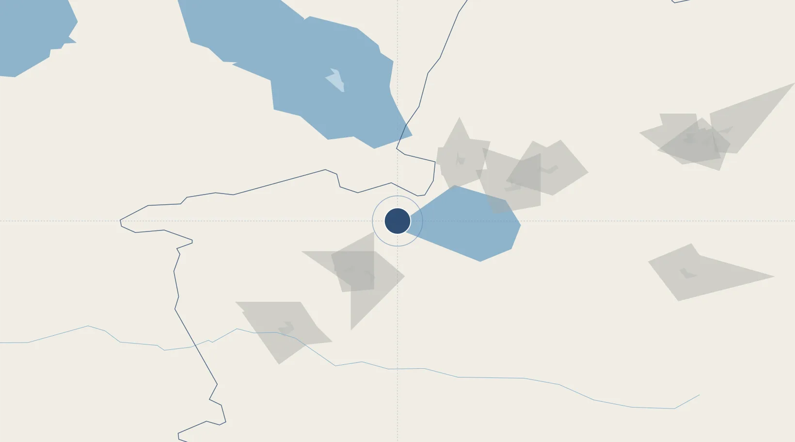
44.8955°, 82.3001°
8,530 ft
Longest runway
1
Runways
1,253 ft
Elevation

Runway & Layout

Bole Alashankou Airport runway & taxiway layout
Runway & taxiway layout — OpenStreetMap (ODbL) / OurAirports

Runways · 1

RunwayDimensions SurfaceTrue headingLit
10/28 8,530 × —ft
OurAirports

Airport Specifications

IATA code
BPL
OurAirports
ICAO code
ZWBL
OurAirports
Airport class
Medium airport
OurAirports
Scheduled service
Yes
OurAirports
Served city
Bole
OurAirports

Location

Location of ZWBL
Natural Earth 10m (public domain) · Xinjiang · ZWBL · 44.90, 82.30GoogleOSMYandex

Nearby Logistics Neighbours

Airports
  1. 1Yining Airport130 km
  2. 2Usharal Airport184 km
  3. 3Xinyuan Nalati Airport184 km
  4. 4Tacheng Qianquan Airport213 km
  5. 5Karamay Airport217 km
Nearest neighbours — logibook spatial index (haversine) over the source coordinates
Cities
  1. 1Alatawshankou34 km
  2. 2Alashankou41 km
  3. 3Dosytk42 km
  4. 4Yining133 km
  5. 5Horgos150 km
Nearest neighbours — logibook spatial index (haversine) over the source coordinates
Ports
  1. 1Igarka2522 km
  2. 2Calcutta2545 km
  3. 3Mongla2581 km
  4. 4Haldia Port2598 km
  5. 5Muhamamad Bin Qasim2612 km
Nearest neighbours — logibook spatial index (haversine) over the source coordinates
Trade Zones
  1. 1Jinghe Industrial Park57 km
  2. 2Xinjiang Huocheng Economic Development Zone147 km
  3. 3Yinan Industrial Park156 km
  4. 4XPCC Horgos Port Industrial Park167 km
  5. 5ICBC Khorgos Special Economic Zone169 km
Nearest neighbours — logibook spatial index (haversine) over the source coordinates
DatabookThe Record of Consolidated Knowledge
China beyond logistics?
Browse databook

All Sources

AirportsOurAirports
Public domain
Portsthe NGA World Port Index
Public domain (US gov)
LocationsUN/LOCODE
UN/LOCODE — free
Trade Zonesthe World Bank SEZ database
CC BY 4.0
Trade ZonesOpen Zone Map
CC BY
InfrastructureOpenStreetMap
ODbL 1.0
← China airports