Diversified Zone · China

Wuzhong Jinji Industrial Park Active
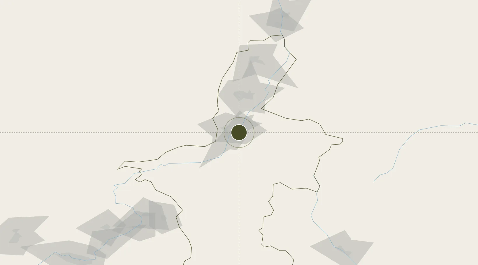
37.9413°, 106.1423°
6,300 ha
Zone area
1,023.7 km
Nearest port
47.8 km
Nearest airport

Gateway access

Nearest neighbours — logibook spatial index (haversine) over the source coordinates

Zone profile

Zone type
Diversified Zone
Open Zone Map
Region
Ningxia
Open Zone Map
Status
Active
Open Zone Map
Management
Public
Open Zone Map
Operator
Management Committee of Wuzhong Jinji Industrial Park
Open Zone Map
Legal framework
It was established in September 2006
Open Zone Map

Location

Location of ozm-963
Natural Earth 10m (public domain) · Ningxia · ozm-963 · 37.94, 106.14GoogleOSMYandex

Nearby Logistics Neighbours

Ports
  1. 1Tianjin Xin Gang1024 km
  2. 2Hankow1108 km
  3. 3Tangshan (Jingtang)1127 km
  4. 4Qinhuangdao1185 km
  5. 5Lanshan1223 km
Nearest neighbours — logibook spatial index (haversine) over the source coordinates
Airports
  1. 1Yinchuan Hedong International Airport48 km
  2. 2Zhongwei Shapotou Airport96 km
  3. 3Alxa Left Banner Bayanhot Airport102 km
  4. 4Guyuan Liupanshan Airport207 km
  5. 5Wuhai Airport214 km
Nearest neighbours — logibook spatial index (haversine) over the source coordinates
Cities
  1. 1Yinchuan58 km
  2. 2Bayin231 km
  3. 3Gaolan266 km
  4. 4Lanzhou291 km
  5. 5Dingxi297 km
Nearest neighbours — logibook spatial index (haversine) over the source coordinates
DatabookThe Record of Consolidated Knowledge
China beyond logistics?
Browse databook

All Sources

Trade ZonesOpen Zone Map
CC BY
Portsthe NGA World Port Index
Public domain (US gov)
AirportsOurAirports
Public domain
LocationsUN/LOCODE
UN/LOCODE — free
← China trade zones