Transport Functions
Rail
Airport
Postal
Hub Profile
Place type
Regional capital
Region
Gansu
Population
3,000,000
Time zone
Asia/Shanghai
Elevation
1,521 m
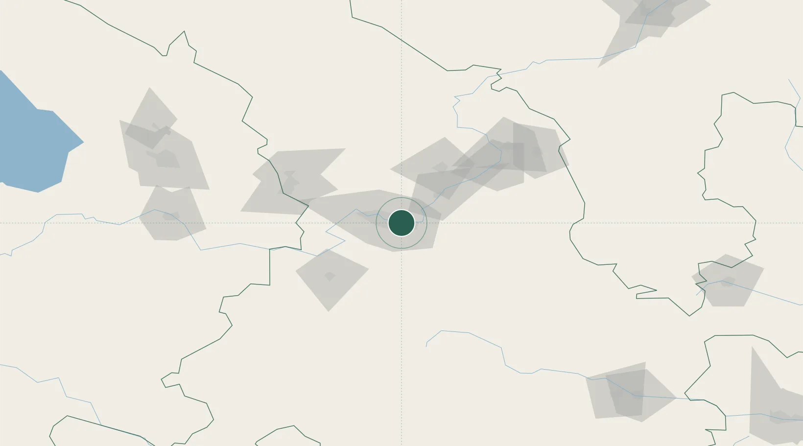
Location
Nearby Logistics Neighbours
Ports
- 1Hankow1144 km
- 2Tianjin Xin Gang1273 km
- 3Guangzhou1700 km
- 4Huangpu1712 km
- 5Huangpuxingang1720 km
Airports
DatabookThe Record of Consolidated Knowledge
China beyond logistics?