Medium airport · China

Guyuan Liupanshan AirportZLGY
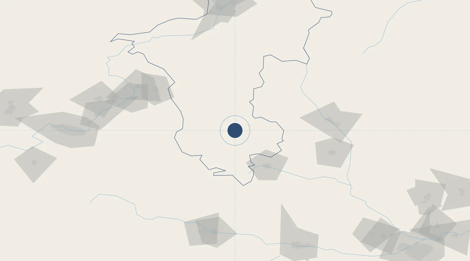
36.0789°, 106.2169°
9,186 ft
Longest runway
1
Runways
5,727 ft
Elevation

Runway & Layout

Guyuan Liupanshan Airport runway & taxiway layout
Runway & taxiway layout — OpenStreetMap (ODbL) / OurAirports

Runways · 1

RunwayDimensions SurfaceTrue headingLit
18/36 9,186 × 148ft
OurAirports

Airport Specifications

IATA code
GYU
OurAirports
ICAO code
ZLGY
OurAirports
Airport class
Medium airport
OurAirports
Scheduled service
Yes
OurAirports
Served city
Guyuan (Yuanzhou)
OurAirports

Location

Location of ZLGY
Natural Earth 10m (public domain) · Ningxia · ZLGY · 36.08, 106.22GoogleOSMYandex

Nearby Logistics Neighbours

Airports
  1. 1Qingyang Xifeng Airport128 km
  2. 2Tianshui Maijishan Airport172 km
  3. 3Lanzhou Air Base181 km
  4. 4Zhongwei Shapotou Airport191 km
  5. 5Baoji Air Base206 km
Nearest neighbours — logibook spatial index (haversine) over the source coordinates
Cities
  1. 1Dingxi155 km
  2. 2Tianshui174 km
  3. 3Bayin188 km
  4. 4Gaolan207 km
  5. 5Baoji208 km
Nearest neighbours — logibook spatial index (haversine) over the source coordinates
Ports
  1. 1Hankow966 km
  2. 2Tianjin Xin Gang1073 km
  3. 3Tangshan (Jingtang)1178 km
  4. 4Lanshan1194 km
  5. 5Rizhao1207 km
Nearest neighbours — logibook spatial index (haversine) over the source coordinates
Trade Zones
  1. 1Hongde Charity Park5 km
  2. 2Haixing Development Zone, Zhongwei City38 km
  3. 3Liupanshan Industrial Park, Longde County52 km
  4. 4Pingliang Industrial Park79 km
  5. 5Chongxin County Industrial Concentration Zone108 km
Nearest neighbours — logibook spatial index (haversine) over the source coordinates
DatabookThe Record of Consolidated Knowledge
China beyond logistics?
Browse databook

All Sources

AirportsOurAirports
Public domain
Portsthe NGA World Port Index
Public domain (US gov)
LocationsUN/LOCODE
UN/LOCODE — free
Trade Zonesthe World Bank SEZ database
CC BY 4.0
Trade ZonesOpen Zone Map
CC BY
InfrastructureOpenStreetMap
ODbL 1.0
← China airports