Transport Functions
Port
Rail
Road
Hub Profile
Place type
Provincial seat
Region
Anhui
Population
782,671
Time zone
Asia/Shanghai
Elevation
24 m
Logistics facilities
1
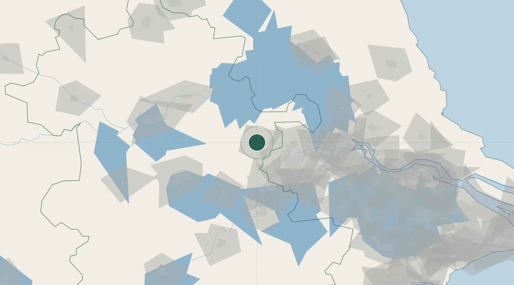
Location
Nearby Logistics Neighbours
Cities
- 1Quanjiao39 km
- 2Wujiang51 km
- 3Nanjing59 km
- 4Ma'anshan68 km
- 5zhengpugang Pt76 km
Airports
- 1Feidong Air Base77 km
- 2Nanjing Lukou International Airport82 km
- 3Bengbu Tenghu Airport111 km
- 4Hefei Xinqiao International Airport132 km
- 5Yangzhou Taizhou Airport134 km
DatabookThe Record of Consolidated Knowledge
China beyond logistics?