Export Processing Zone · China

Binjiang Economic Development Zone Active
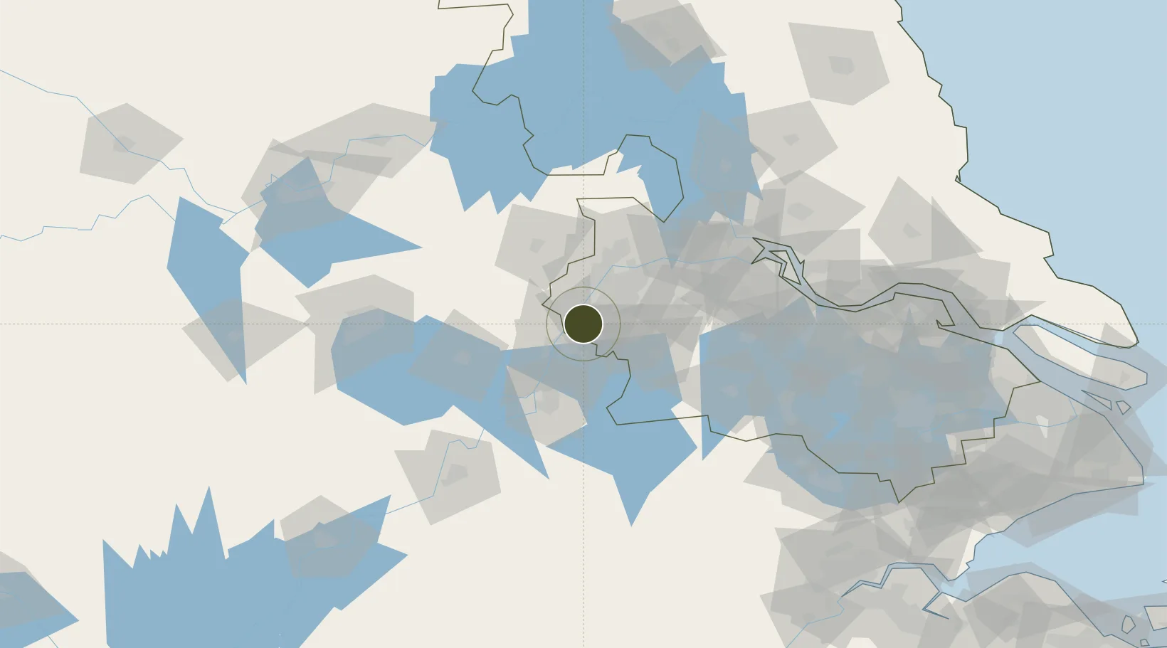
31.8366°, 118.5985°
5,112 ha
Zone area
30.9 km
Nearest port
27.7 km
Nearest airport

Gateway access

Nearest neighbours — logibook spatial index (haversine) over the source coordinates

Zone profile

Zone type
Export Processing Zone
Open Zone Map
Region
Jiangsu
Open Zone Map
Status
Active
Open Zone Map
Management
Public
Open Zone Map
Operator
Management Committee of Binjiang Economic Development Zone
Open Zone Map
Legal framework
Established on October 18, 2003
Open Zone Map

Location

Location of ozm-1427
Natural Earth 10m (public domain) · Jiangsu · ozm-1427 · 31.84, 118.60GoogleOSMYandex

Nearby Logistics Neighbours

Ports
  1. 1Nanjing31 km
  2. 2Zhenjiang89 km
  3. 3Yangzhou92 km
  4. 4Gaogang128 km
  5. 5Changzhou132 km
Nearest neighbours — logibook spatial index (haversine) over the source coordinates
Airports
  1. 1Nanjing Lukou International Airport28 km
  2. 2Wuhu Xuanzhou Airport82 km
  3. 3Feidong Air Base89 km
  4. 4Changzhou Benniu International Airport112 km
  5. 5Yangzhou Taizhou Airport133 km
Nearest neighbours — logibook spatial index (haversine) over the source coordinates
Cities
  1. 1Wujiang14 km
  2. 2Ma'anshan18 km
  3. 3zhengpugang Pt30 km
  4. 4Nanjing42 km
  5. 5Jurong54 km
Nearest neighbours — logibook spatial index (haversine) over the source coordinates
DatabookThe Record of Consolidated Knowledge
China beyond logistics?
Browse databook

All Sources

Trade ZonesOpen Zone Map
CC BY
Portsthe NGA World Port Index
Public domain (US gov)
AirportsOurAirports
Public domain
LocationsUN/LOCODE
UN/LOCODE — free
← China trade zones