Export Processing Zone · China

Nanjing Pukou Economic Development Zone Active
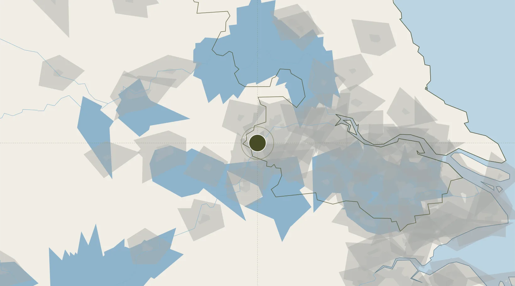
31.9641°, 118.5508°
1,600 ha
Zone area
23.0 km
Nearest port
39.2 km
Nearest airport

Gateway access

Nearest neighbours — logibook spatial index (haversine) over the source coordinates

Zone profile

Zone type
Export Processing Zone
Open Zone Map
Region
Jiangsu
Open Zone Map
Status
Active
Open Zone Map
Management
Public
Open Zone Map
Operator
Working Committee of Nanjing Pukou Economic Development Zone
Open Zone Map
Legal framework
Controlled detailed planning for the Core Development zone of Pukou New City, Nanjing
Open Zone Map

Location

Location of ozm-1325
Natural Earth 10m (public domain) · Jiangsu · ozm-1325 · 31.96, 118.55GoogleOSMYandex

Nearby Logistics Neighbours

Ports
  1. 1Nanjing23 km
  2. 2Zhenjiang88 km
  3. 3Yangzhou90 km
  4. 4Gaogang127 km
  5. 5Changzhou135 km
Nearest neighbours — logibook spatial index (haversine) over the source coordinates
Airports
  1. 1Nanjing Lukou International Airport39 km
  2. 2Feidong Air Base84 km
  3. 3Wuhu Xuanzhou Airport96 km
  4. 4Changzhou Benniu International Airport116 km
  5. 5Yangzhou Taizhou Airport129 km
Nearest neighbours — logibook spatial index (haversine) over the source coordinates
Cities
  1. 1Wujiang14 km
  2. 2Ma'anshan29 km
  3. 3Nanjing37 km
  4. 4zhengpugang Pt40 km
  5. 5Chuzhou44 km
Nearest neighbours — logibook spatial index (haversine) over the source coordinates
DatabookThe Record of Consolidated Knowledge
China beyond logistics?
Browse databook

All Sources

Trade ZonesOpen Zone Map
CC BY
Portsthe NGA World Port Index
Public domain (US gov)
AirportsOurAirports
Public domain
LocationsUN/LOCODE
UN/LOCODE — free
← China trade zones