UN/LOCODE hub · China
CNNJI
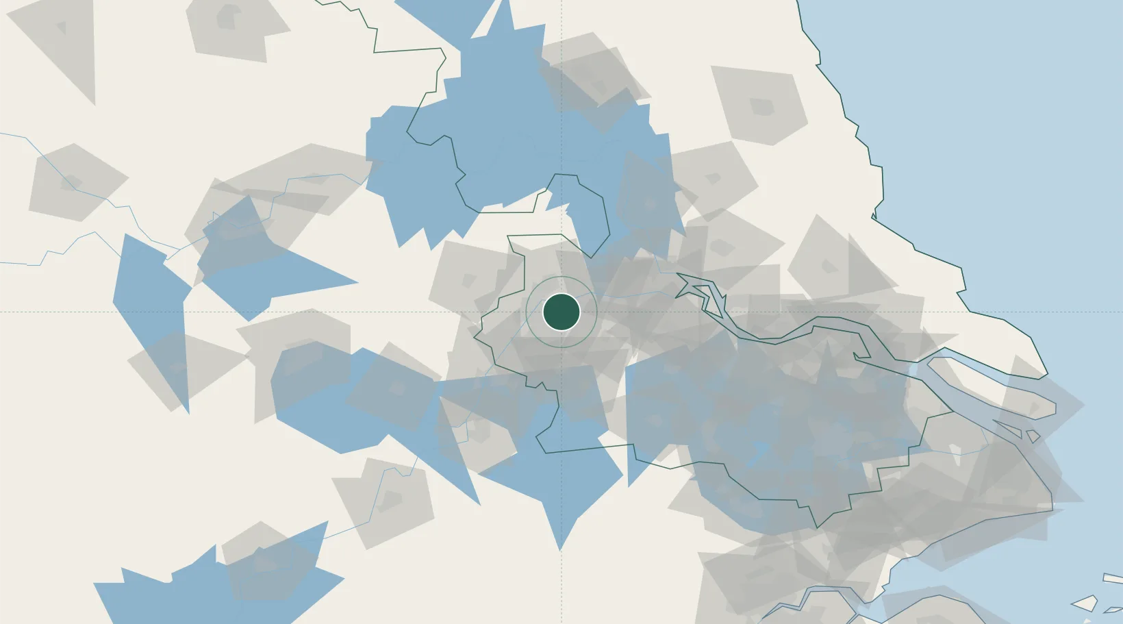
Nanjing
32.1113°, 118.8971°
9,314,685
Population
3
Transport functions
2
Container terminals
Transport Functions
Port
Airport
Postal
Hub Profile
Place type
Regional capital
Region
Jiangsu
Population
9,314,685
Time zone
Asia/Shanghai
Elevation
22 m
Logistics facilities
4
Container terminals
2
Location
Nearby Logistics Neighbours
Airports
DatabookThe Record of Consolidated Knowledge
China beyond logistics?