Transport Functions
Port
Road
Hub Profile
Place type
Populated place
Region
Yunnan
Time zone
Asia/Shanghai
Elevation
2,011 m
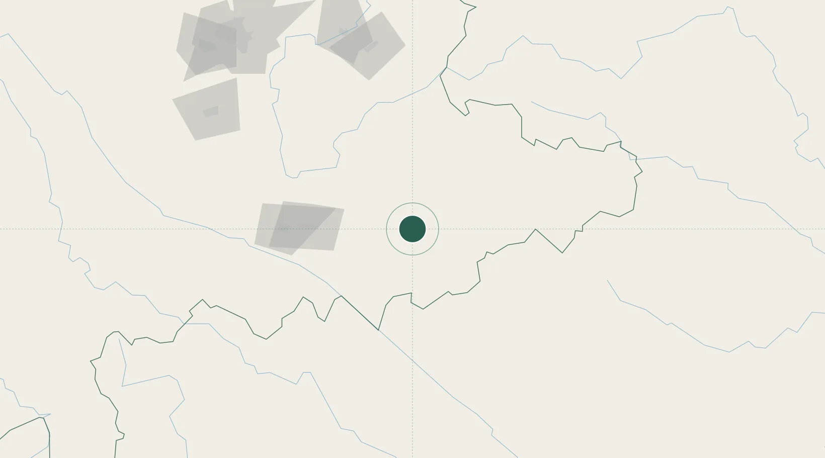
Location
Nearby Logistics Neighbours
Cities
- 1Dulong70 km
- 2Hekou98 km
- 3Yuxi207 km
- 4Yunnan Tengjun International Land Port Logistics Center226 km
- 5Qujing240 km
Ports
- 1Hai Phong370 km
- 2Hon Gai395 km
- 3Cam Pha413 km
- 4Fang-Cheng458 km
- 5Qinzhou481 km
Airports
- 1Wenshan Puzhehei Airport23 km
- 2Wenshan Air Base58 km
- 3Honghe Mengzi Airport / Mengzi Air Base94 km
- 4Luliang Air Base191 km
- 5Xingyi Wanfenglin Airport204 km
DatabookThe Record of Consolidated Knowledge
China beyond logistics?