Runway & Layout

Airport Specifications
Airport class
Medium airport
Scheduled service
No
Served city
Qujing (Luliang)
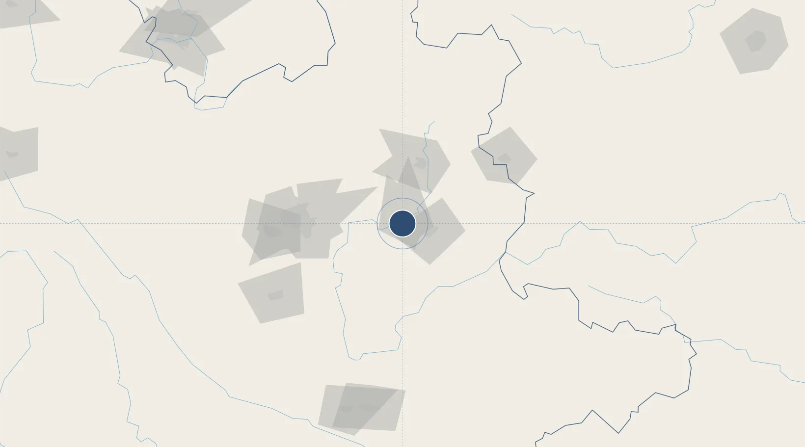
Location
Nearby Logistics Neighbours
Airports
Cities
- 1Qujing57 km
- 2Yunnan Tengjun International Land Port Logistics Center111 km
- 3Anning117 km
- 4Yuxi134 km
- 5Wenshan191 km
Ports
- 1Hai Phong549 km
- 2Hon Gai570 km
- 3Cam Pha582 km
- 4Fang-Cheng600 km
- 5Qinzhou621 km
DatabookThe Record of Consolidated Knowledge
China beyond logistics?