UN/LOCODE hub · China
CNKML

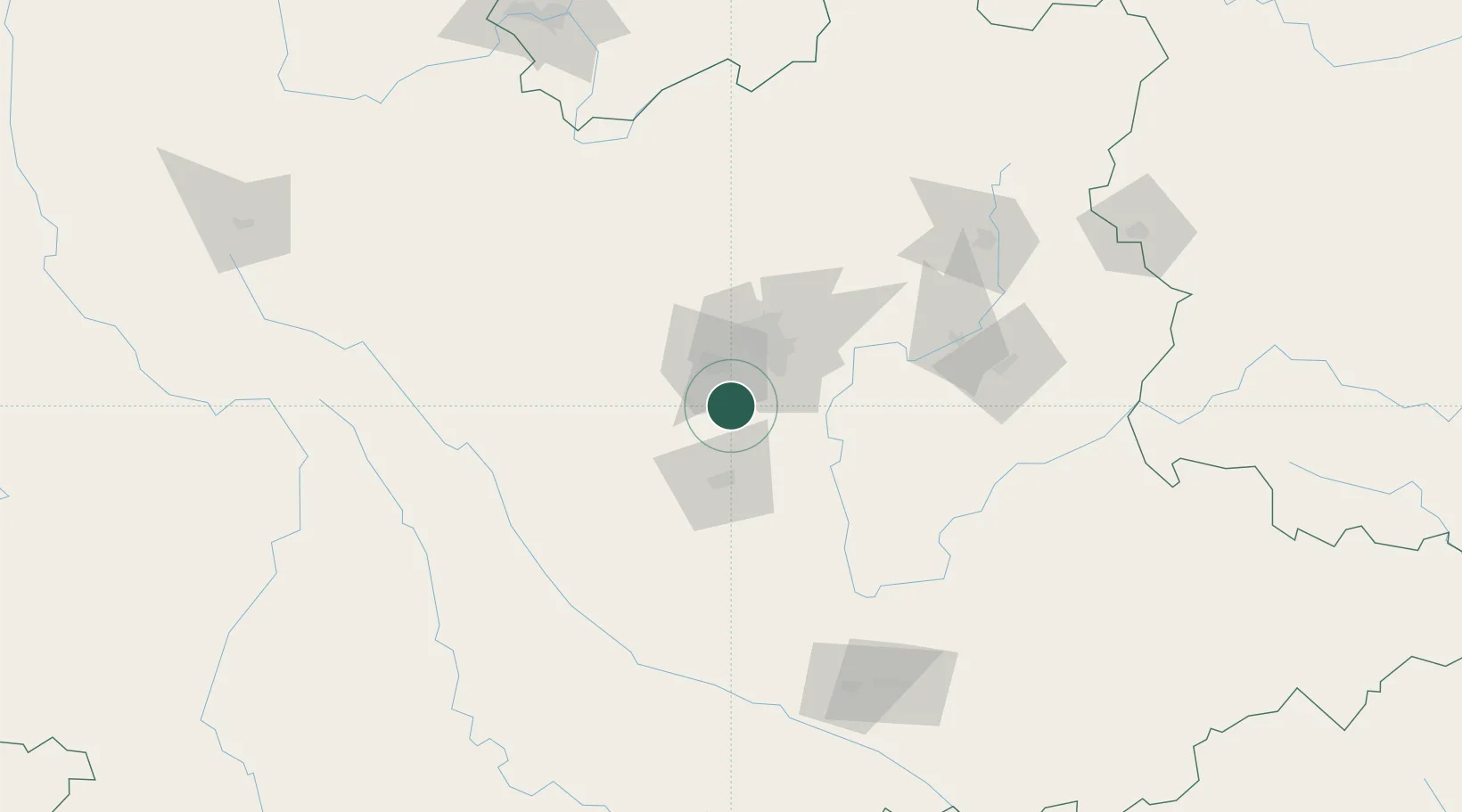
Yunnan Tengjun International Land Port Logistics Center

24.7167°, 102.5833°
1
Transport functions

Transport Functions

Multimodal
UN/LOCODE

Hub Profile

Region
YN
GeoNames

Location

Location of CNKML
Natural Earth 10m (public domain) · YN · CNKML · 24.72, 102.58GoogleOSMYandex

Nearby Logistics Neighbours

Cities
  1. 1Anning23 km
  2. 2Yuxi41 km
  3. 3Qujing148 km
  4. 4Panzhihuazhan223 km
  5. 5Wenshan226 km
Nearest neighbours — logibook spatial index (haversine) over the source coordinates
Ports
  1. 1Hai Phong596 km
  2. 2Hon Gai622 km
  3. 3Cam Pha639 km
  4. 4Fang-Cheng675 km
  5. 5Qinzhou697 km
Nearest neighbours — logibook spatial index (haversine) over the source coordinates
Airports
  1. 1Kunming Changshui International Airport56 km
  2. 2Luliang Air Base111 km
  3. 3Yuanmou Air Base134 km
  4. 4Honghe Mengzi Airport / Mengzi Air Base166 km
  5. 5Wenshan Air Base168 km
Nearest neighbours — logibook spatial index (haversine) over the source coordinates
Trade Zones
  1. 1New Material Photovoltaic Industrial Park39 km
  2. 2Wuhua Science and Technology Industrial Park41 km
  3. 3Yuxi Economic Development Zone43 km
  4. 4Wuding Industrial Park82 km
  5. 5Xundian Characteristic Industrial Park111 km
Nearest neighbours — logibook spatial index (haversine) over the source coordinates
DatabookThe Record of Consolidated Knowledge
China beyond logistics?
Browse databook

All Sources

LocationsUN/LOCODE
UN/LOCODE — free
Portsthe NGA World Port Index
Public domain (US gov)
AirportsOurAirports
Public domain
Trade Zonesthe World Bank SEZ database
CC BY 4.0
Trade ZonesOpen Zone Map
CC BY
← China locations