Runway & Layout

Airport Specifications
Airport class
Medium airport
Scheduled service
No
Served city
Honghe
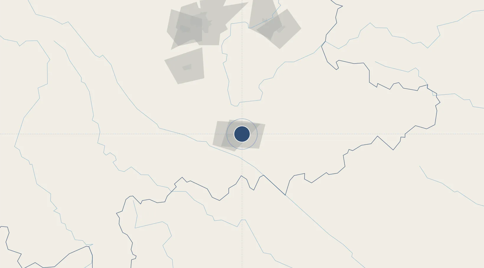
Location
Nearby Logistics Neighbours
Airports
- 1Wenshan Air Base62 km
- 2Wenshan Puzhehei Airport103 km
- 3Luliang Air Base180 km
- 4Kunming Changshui International Airport195 km
- 5Dien Bien Phu Airport225 km
Cities
- 1Wenshan94 km
- 2Hekou118 km
- 3Yuxi135 km
- 4Dulong137 km
- 5Yunnan Tengjun International Land Port Logistics Center166 km
Ports
- 1Hai Phong442 km
- 2Hon Gai471 km
- 3Cam Pha491 km
- 4Fang-Cheng547 km
- 5Qinzhou570 km
DatabookThe Record of Consolidated Knowledge
China beyond logistics?