Transport Functions
Rail
Road
Multimodal
Postal
Hub Profile
Place type
Populated place
Region
Yunnan
Population
1,408,500
Time zone
Asia/Shanghai
Elevation
1,887 m
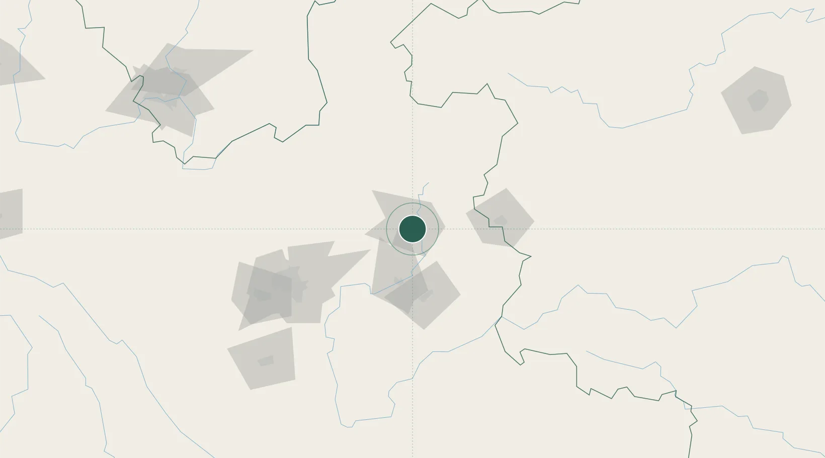
Location
Nearby Logistics Neighbours
Cities
- 1Anning146 km
- 2Yunnan Tengjun International Land Port Logistics Center148 km
- 3Yuxi179 km
- 4Bacao201 km
- 5Baiceng203 km
Ports
- 1Hai Phong588 km
- 2Hon Gai606 km
- 3Cam Pha615 km
- 4Fang-Cheng623 km
- 5Qinzhou643 km
Airports
Trade Zones
DatabookThe Record of Consolidated Knowledge
China beyond logistics?