Medium airport · China

Xingyi Wanfenglin AirportZUYI
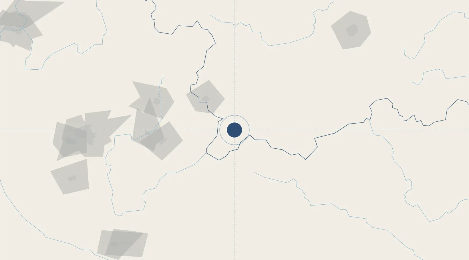
25.0834°, 104.9608°
7,546 ft
Longest runway
1
Runways
4,150 ft
Elevation

Runway & Layout

Xingyi Wanfenglin Airport runway & taxiway layout
Runway & taxiway layout — OpenStreetMap (ODbL) / OurAirports

Runways · 1

RunwayDimensions SurfaceTrue headingLit
16/34 7,546 × —ft
OurAirports

Airport Specifications

IATA code
ACX
OurAirports
ICAO code
ZUYI
OurAirports
Airport class
Medium airport
OurAirports
Scheduled service
Yes
OurAirports
Served city
Xingyi
OurAirports

Location

Location of ZUYI
Natural Earth 10m (public domain) · Guizhou · ZUYI · 25.08, 104.96GoogleOSMYandex

Nearby Logistics Neighbours

Airports
  1. 1Luliang Air Base133 km
  2. 2Anshun Huangguoshu Airport160 km
  3. 3Liupanshui Yuezhao Airport170 km
  4. 4Wenshan Puzhehei Airport181 km
  5. 5Wenshan Air Base191 km
Nearest neighbours — logibook spatial index (haversine) over the source coordinates
Cities
  1. 1Baiceng93 km
  2. 2Bacao93 km
  3. 3Qujing127 km
  4. 4Anshun162 km
  5. 5Wenshan204 km
Nearest neighbours — logibook spatial index (haversine) over the source coordinates
Ports
  1. 1Hai Phong496 km
  2. 2Fang-Cheng507 km
  3. 3Hon Gai508 km
  4. 4Cam Pha513 km
  5. 5Qinzhou525 km
Nearest neighbours — logibook spatial index (haversine) over the source coordinates
Trade Zones
  1. 1Shizong Industrial Park95 km
  2. 2Luxi Industrial Park134 km
  3. 3Xuanwei Economic Development Zone148 km
  4. 4Xundian Characteristic Industrial Park185 km
  5. 5Weiyuan County Industrial Concentration Zone186 km
Nearest neighbours — logibook spatial index (haversine) over the source coordinates
DatabookThe Record of Consolidated Knowledge
China beyond logistics?
Browse databook

All Sources

AirportsOurAirports
Public domain
Portsthe NGA World Port Index
Public domain (US gov)
LocationsUN/LOCODE
UN/LOCODE — free
Trade Zonesthe World Bank SEZ database
CC BY 4.0
Trade ZonesOpen Zone Map
CC BY
InfrastructureOpenStreetMap
ODbL 1.0
← China airports