Runway & Layout

Airport Specifications
Airport class
Medium airport
Scheduled service
No
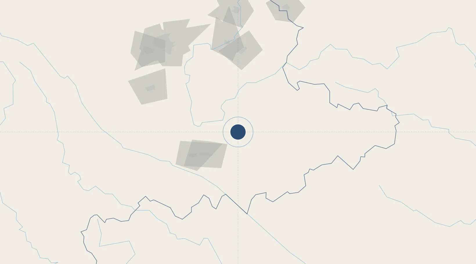
Location
Nearby Logistics Neighbours
Airports
Cities
- 1Wenshan58 km
- 2Dulong124 km
- 3Hekou134 km
- 4Yuxi151 km
- 5Yunnan Tengjun International Land Port Logistics Center168 km
Ports
- 1Hai Phong428 km
- 2Hon Gai453 km
- 3Cam Pha471 km
- 4Fang-Cheng513 km
- 5Qinzhou535 km
DatabookThe Record of Consolidated Knowledge
China beyond logistics?