Export Processing Zone · China
Maguan County Border Trade Processing Zone Active
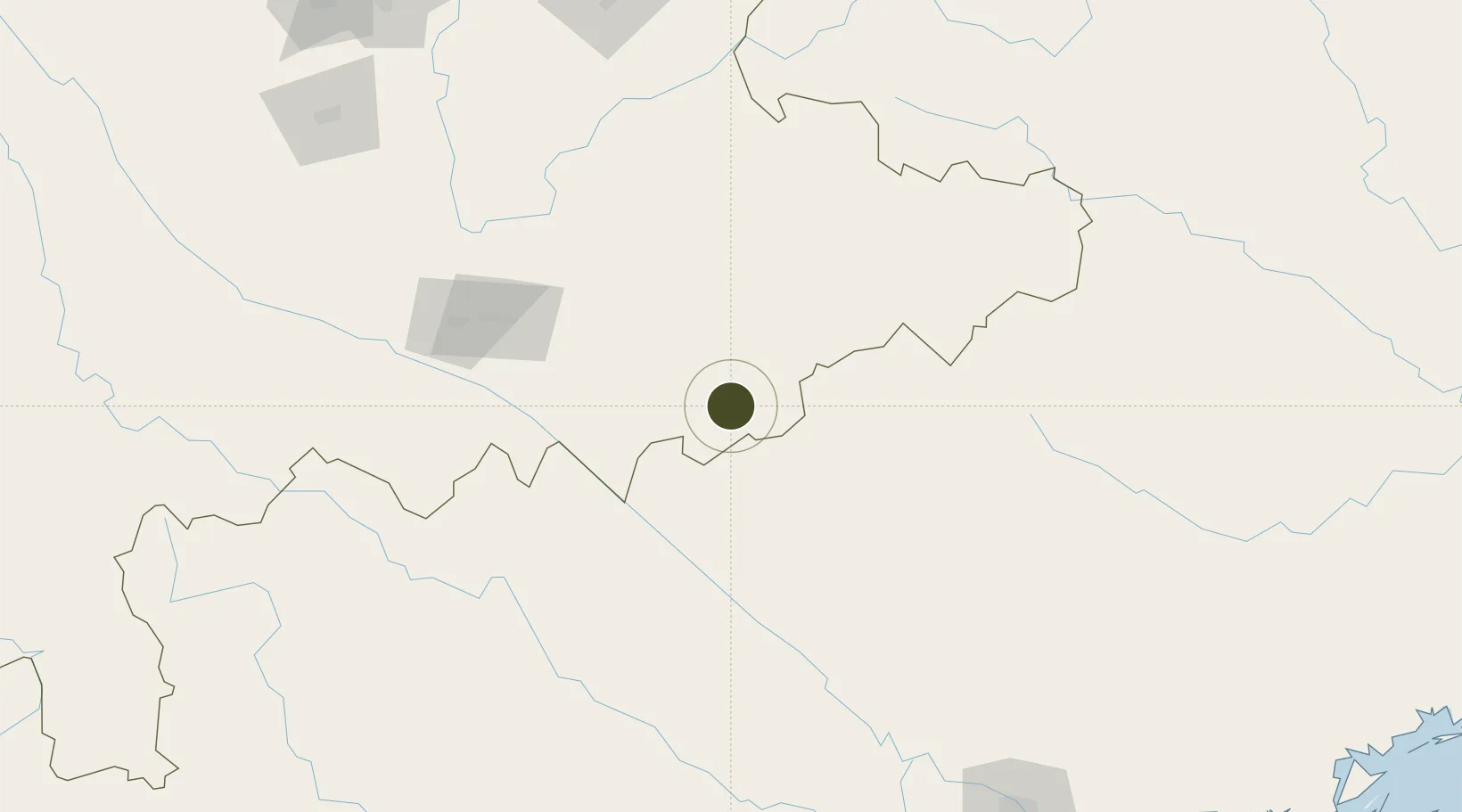
22.9691°, 104.4698°
134 ha
Zone area
322.8 km
Nearest port
67.2 km
Nearest airport
Gateway access
Zone profile
Zone type
Export Processing Zone
Region
Yunnan
Status
Active
Management
Public
Operator
Management Committee of Shimonoseki Border Economic Cooperation Zone
Legal framework
Yunnan Provincial Committee of the Communist Party of China, Yunnan Provincial People's Government: Decision on Accelerating the Construction of a Modern Industrial System (July 27, 2020), Several Opinions of the General Office of the State Council on Pro
Location
Nearby Logistics Neighbours
Ports
- 1Hai Phong323 km
- 2Hon Gai349 km
- 3Cam Pha368 km
- 4Fang-Cheng421 km
- 5Qinzhou445 km
Airports
- 1Wenshan Puzhehei Airport67 km
- 2Wenshan Air Base106 km
- 3Honghe Mengzi Airport / Mengzi Air Base125 km
- 4Dien Bien Phu Airport231 km
- 5Noi Bai International Airport238 km
Cities
- 1Dulong21 km
- 2Wenshan50 km
- 3Hekou71 km
- 4Thái Nguyên213 km
- 5Hoa Lac217 km
DatabookThe Record of Consolidated Knowledge
China beyond logistics?