Small airport · China
Wenshan Puzhehei AirportZPWS
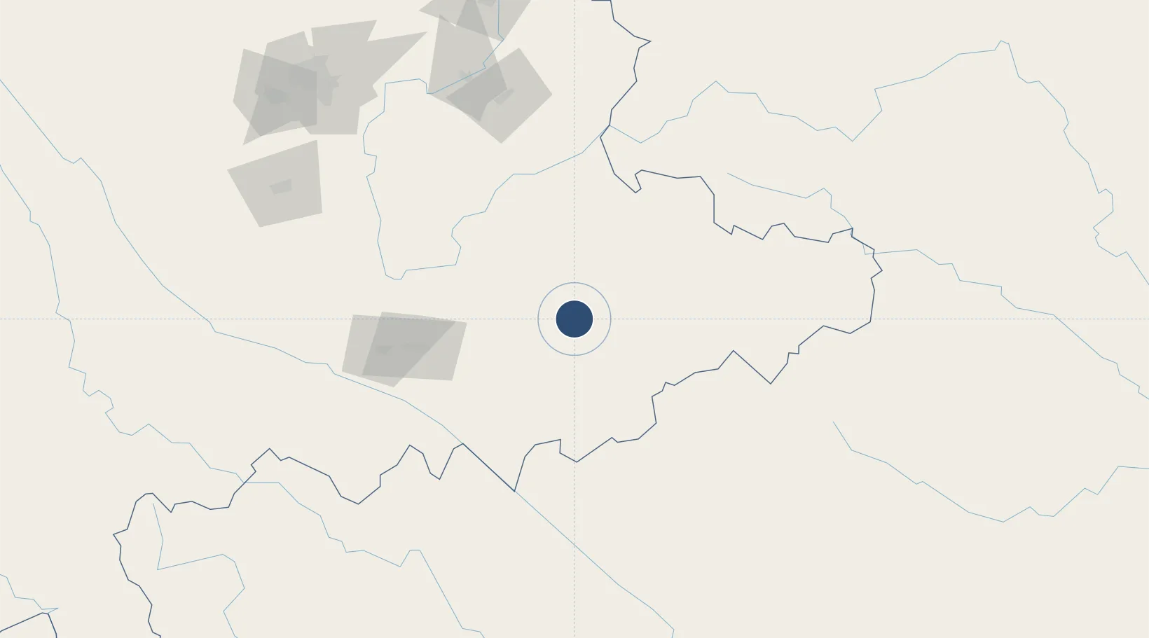
23.5583°, 104.3255°
7,874 ft
Longest runway
1
Runways
5,217 ft
Elevation
Runway & Layout

Runways · 1
| Runway | Dimensions | Surface | True heading | Lit |
|---|---|---|---|---|
| 02/20 | 7,874 × —ft | — | — | — |
Airport Specifications
IATA code
WNH
ICAO code
ZPWS
Airport class
Small airport
Scheduled service
Yes
Served city
Wenshan
Location
Nearby Logistics Neighbours
Airports
- 1Wenshan Air Base54 km
- 2Honghe Mengzi Airport / Mengzi Air Base103 km
- 3Luliang Air Base173 km
- 4Xingyi Wanfenglin Airport181 km
- 5Kunming Changshui International Airport223 km
Cities
- 1Wenshan23 km
- 2Dulong88 km
- 3Hekou121 km
- 4Yuxi204 km
- 5Yunnan Tengjun International Land Port Logistics Center219 km
Ports
- 1Hai Phong381 km
- 2Hon Gai405 km
- 3Cam Pha420 km
- 4Fang-Cheng459 km
- 5Qinzhou482 km
DatabookThe Record of Consolidated Knowledge
China beyond logistics?