UN/LOCODE hub · China
CNSNZ

Shenzhen

22.5991°, 114.2066°
17,494,398
Population
5
Transport functions

Transport Functions

Port
Rail
Road
Airport
Postal
UN/LOCODE

Hub Profile

Place type
Provincial seat
GeoNames
Region
Guangdong
GeoNames
Population
17,494,398
GeoNames
Time zone
Asia/Shanghai
GeoNames
Elevation
4 m
GeoNames
Logistics facilities
21
UN/LOCODE

Location

Location of CNSNZ
Natural Earth 10m (public domain) · Guangdong · CNSNZ · 22.60, 114.21GoogleOSMYandex

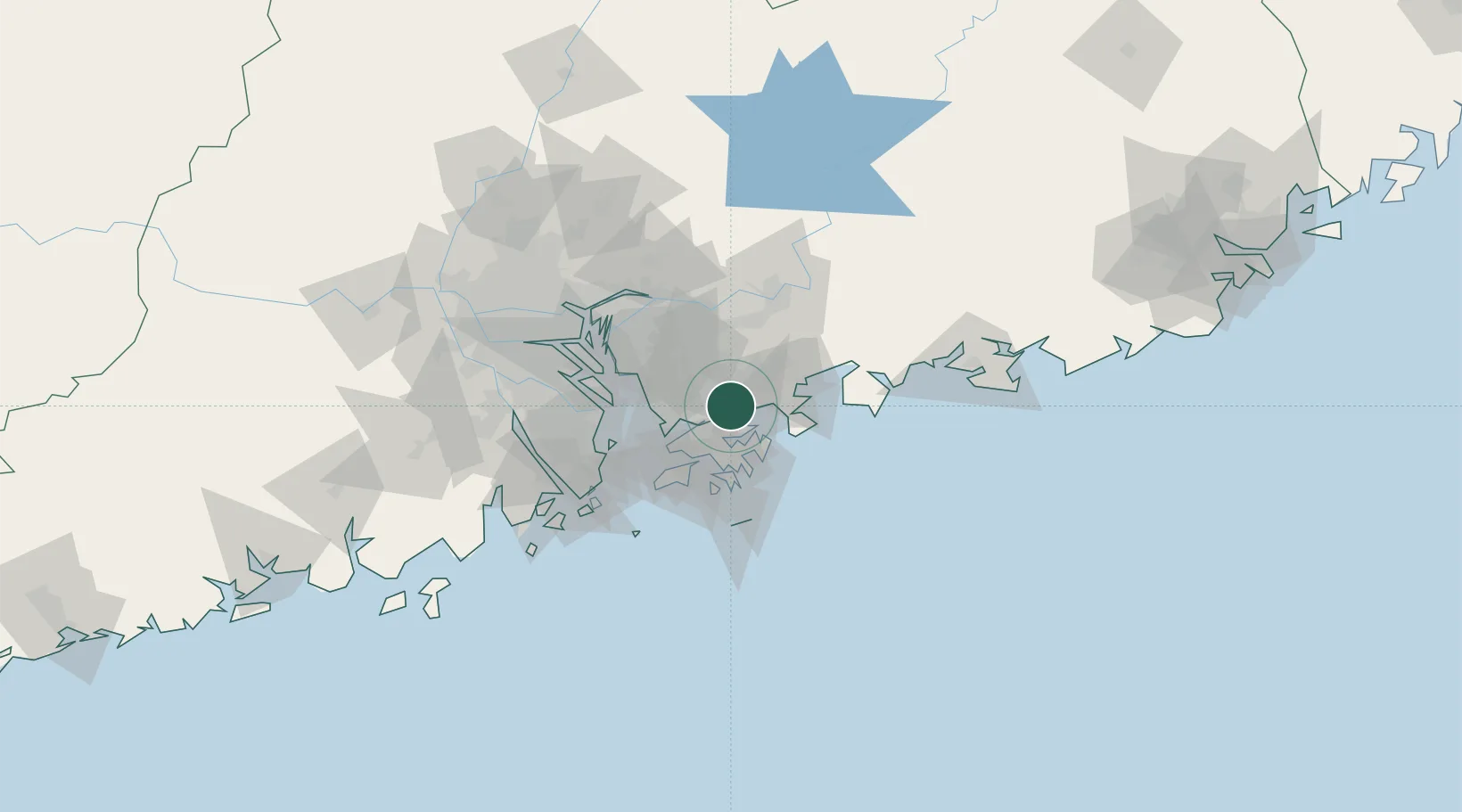
Nearby Logistics Neighbours

Cities
  1. 1Yantian5 km
  2. 2Huizhou17 km
  3. 3Fo Tan22 km
  4. 4Guangdong Terminal24 km
  5. 5Ha Kwai Chung27 km
Nearest neighbours — logibook spatial index (haversine) over the source coordinates
Ports
  1. 1Yantian6 km
  2. 2Huizhou34 km
  3. 3Hong Kong37 km
  4. 4Shekou38 km
  5. 5Zhuhai76 km
Nearest neighbours — logibook spatial index (haversine) over the source coordinates
Airports
  1. 1Shek Kong Air Base22 km
  2. 2Shun Tak Heliport35 km
  3. 3Shenzhen Bao'an International Airport42 km
  4. 4Hong Kong International Airport44 km
  5. 5Huizhou Pingtan Airport64 km
Nearest neighbours — logibook spatial index (haversine) over the source coordinates
Trade Zones
  1. 1Shatoujiao Free Trade Zone6 km
  2. 2Yantian Free Trade Zone7 km
  3. 3Shenzhen Export Processing Zone21 km
  4. 4Yuehai Equipment Industrial Park27 km
  5. 5Huiyang Economic Development Zone44 km
Nearest neighbours — logibook spatial index (haversine) over the source coordinates
DatabookThe Record of Consolidated Knowledge
China beyond logistics?
Browse databook

All Sources

LocationsUN/LOCODE
UN/LOCODE — free
LocationsGeoNames
CC BY 4.0
Portsthe NGA World Port Index
Public domain (US gov)
AirportsOurAirports
Public domain
Trade Zonesthe World Bank SEZ database
CC BY 4.0
Trade ZonesOpen Zone Map
CC BY
← China locations