Export Processing Zone · China

Shatoujiao Free Trade Zone Active
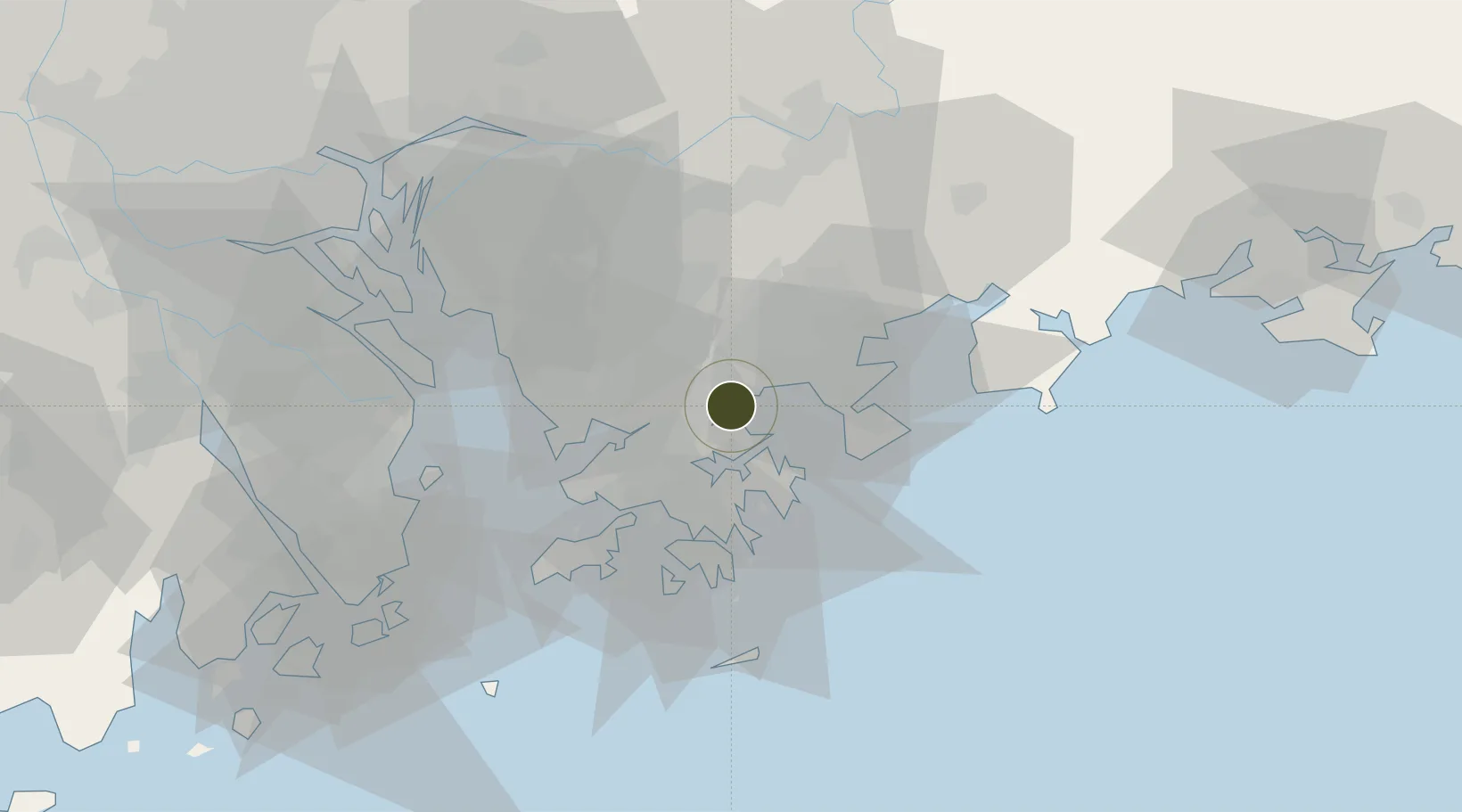
22.5641°, 114.2494°
27 ha
Zone area
2.8 km
Nearest port
22.4 km
Nearest airport

Gateway access

Nearest neighbours — logibook spatial index (haversine) over the source coordinates

Zone profile

Zone type
Export Processing Zone
Open Zone Map
Region
Guangdong
Open Zone Map
Status
Active
Open Zone Map
Management
Public
Open Zone Map
Operator
Sha Tau Kok Free Trade Zone Administration
Open Zone Map
Legal framework
Unavailable
Open Zone Map

Location

Location of ozm-1030
Natural Earth 10m (public domain) · Guangdong · ozm-1030 · 22.56, 114.25GoogleOSMYandex

Nearby Logistics Neighbours

Ports
  1. 1Yantian3 km
  2. 2Huizhou32 km
  3. 3Hong Kong34 km
  4. 4Shekou41 km
  5. 5Zhuhai78 km
Nearest neighbours — logibook spatial index (haversine) over the source coordinates
Airports
  1. 1Shek Kong Air Base22 km
  2. 2Shun Tak Heliport32 km
  3. 3Hong Kong International Airport44 km
  4. 4Shenzhen Bao'an International Airport47 km
  5. 5Huizhou Pingtan Airport65 km
Nearest neighbours — logibook spatial index (haversine) over the source coordinates
Cities
  1. 1Yantian2 km
  2. 2Shenzhen6 km
  3. 3Huizhou15 km
  4. 4Guangdong Terminal19 km
  5. 5Fo Tan19 km
Nearest neighbours — logibook spatial index (haversine) over the source coordinates
Trade Zones
  1. 1Yantian Free Trade Zone4 km
  2. 2Shenzhen Export Processing Zone20 km
  3. 3Yuehai Equipment Industrial Park31 km
  4. 4Huiyang Economic Development Zone44 km
  5. 5Huizhou Industrial Park53 km
Nearest neighbours — logibook spatial index (haversine) over the source coordinates
DatabookThe Record of Consolidated Knowledge
China beyond logistics?
Browse databook

All Sources

Trade ZonesOpen Zone Map
CC BY
Portsthe NGA World Port Index
Public domain (US gov)
AirportsOurAirports
Public domain
LocationsUN/LOCODE
UN/LOCODE — free
← China trade zones