UN/LOCODE hub · China
CNYTN

Yantian

22.5824°, 114.2465°
4
Transport functions
2
Container terminals

Transport Functions

Port
Rail
Road
Multimodal
Yantian is also a profiled seaport →
UN/LOCODE

Hub Profile

Place type
Local administrative seat
GeoNames
Region
Guangdong
GeoNames
Time zone
Asia/Shanghai
GeoNames
Elevation
7 m
GeoNames
Logistics facilities
28
UN/LOCODE
Container terminals
2
UN/LOCODE

Location

Location of CNYTN
Natural Earth 10m (public domain) · Guangdong · CNYTN · 22.58, 114.25GoogleOSMYandex

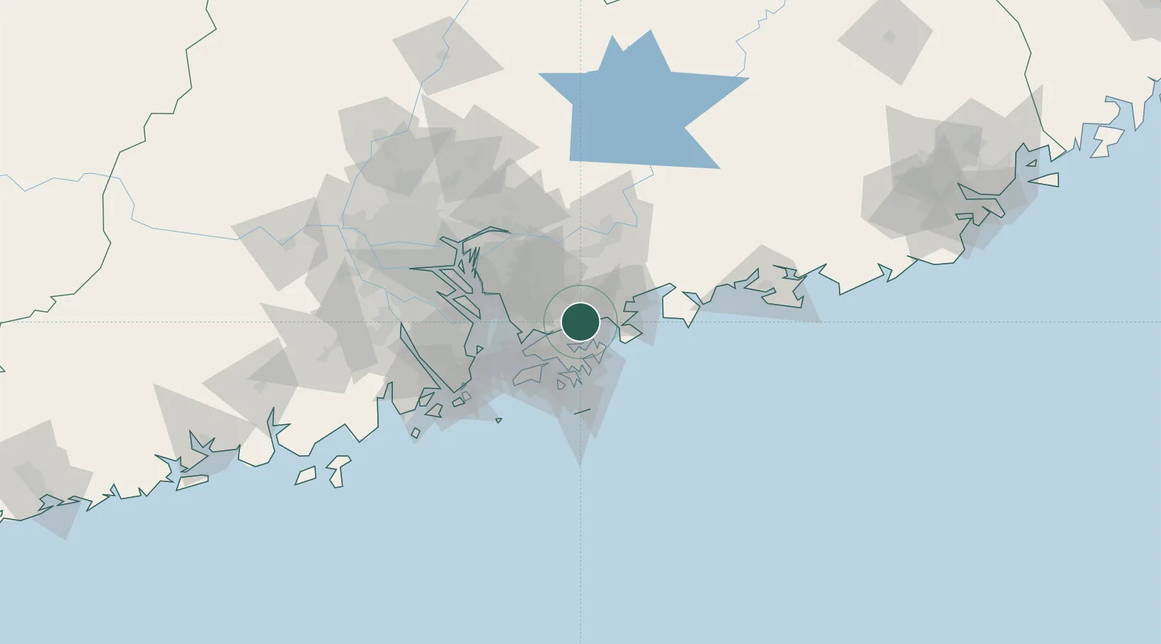
Nearby Logistics Neighbours

Cities
  1. 1Shenzhen5 km
  2. 2Huizhou14 km
  3. 3Guangdong Terminal19 km
  4. 4Fo Tan21 km
  5. 5Dapeng26 km
Nearest neighbours — logibook spatial index (haversine) over the source coordinates
Ports
  1. 1Huizhou32 km
  2. 2Hong Kong35 km
  3. 3Shekou41 km
  4. 4Zhuhai78 km
  5. 5Macau83 km
Nearest neighbours — logibook spatial index (haversine) over the source coordinates
Airports
  1. 1Shek Kong Air Base24 km
  2. 2Shun Tak Heliport34 km
  3. 3Hong Kong International Airport46 km
  4. 4Shenzhen Bao'an International Airport46 km
  5. 5Huizhou Pingtan Airport63 km
Nearest neighbours — logibook spatial index (haversine) over the source coordinates
Trade Zones
  1. 1Shatoujiao Free Trade Zone2 km
  2. 2Yantian Free Trade Zone3 km
  3. 3Shenzhen Export Processing Zone19 km
  4. 4Yuehai Equipment Industrial Park31 km
  5. 5Huiyang Economic Development Zone42 km
Nearest neighbours — logibook spatial index (haversine) over the source coordinates
DatabookThe Record of Consolidated Knowledge
China beyond logistics?
Browse databook

All Sources

LocationsUN/LOCODE
UN/LOCODE — free
Portsthe NGA World Port Index
Public domain (US gov)
AirportsOurAirports
Public domain
Trade Zonesthe World Bank SEZ database
CC BY 4.0
Trade ZonesOpen Zone Map
CC BY
← China locations