Transport Functions
Port
Road
Hub Profile
Place type
Populated place
Region
Kwai Tsing District
Time zone
Asia/Hong_Kong
Elevation
41 m
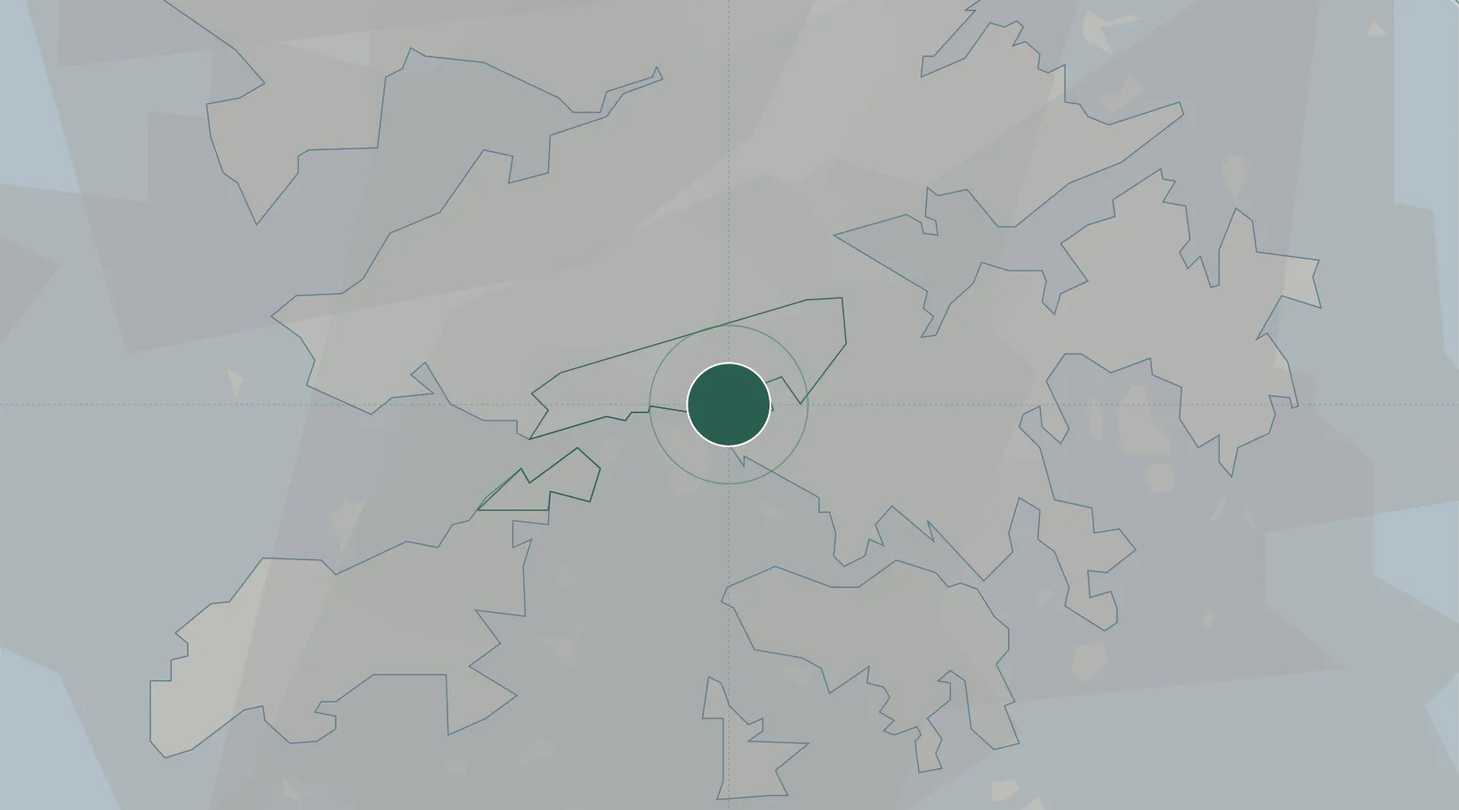
Location
Nearby Logistics Neighbours
Cities
- 1Kwai Chung2 km
- 2Tai Kok Tsui6 km
- 3Hong Kong6 km
- 4Yau Ma Tei8 km
- 5Tsim Sha Tsui9 km
Airports
Trade Zones
DatabookThe Record of Consolidated Knowledge
Hong Kong SAR China beyond logistics?