UN/LOCODE hub · Hong Kong SAR China
HKFOT
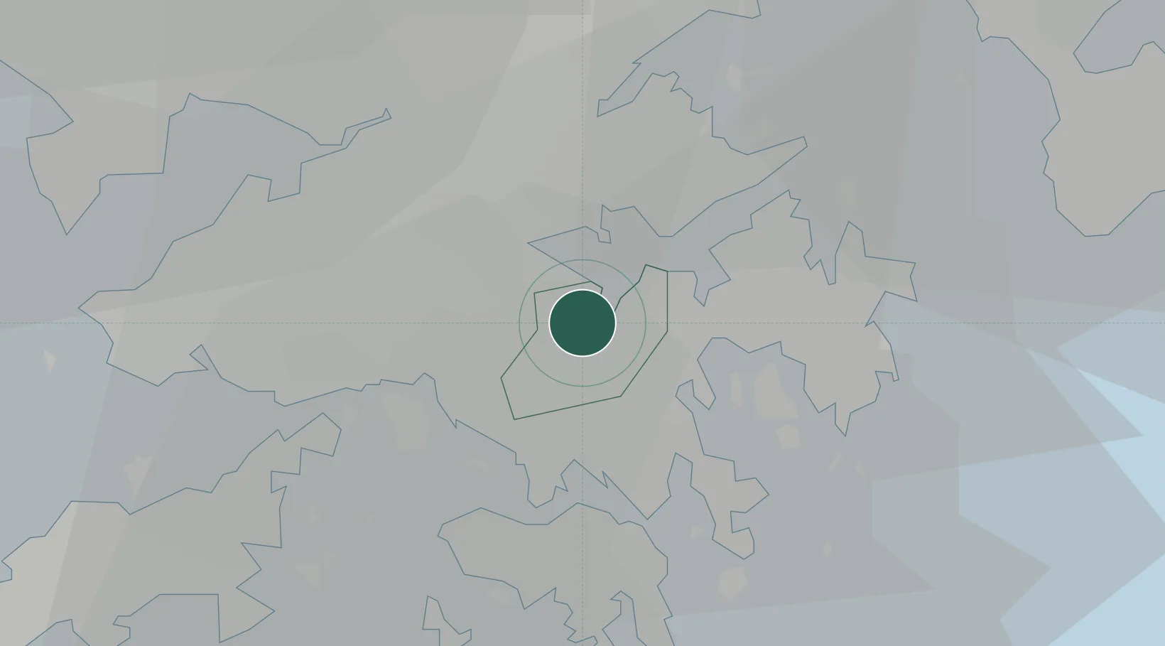
Fo Tan
22.4000°, 114.2000°
22,127
Population
1
Transport functions
Transport Functions
Multimodal
Hub Profile
Place type
Populated place
Region
Sha Tin
Population
22,127
Time zone
Asia/Hong_Kong
Elevation
42 m
Location
Nearby Logistics Neighbours
Cities
- 1Kwai Chung9 km
- 2Ha Kwai Chung9 km
- 3Kwun Tong9 km
- 4Kowloon10 km
- 5Tai Kok Tsui10 km
Airports
Trade Zones
DatabookThe Record of Consolidated Knowledge
Hong Kong SAR China beyond logistics?