Transport Functions
Road
Multimodal
Hub Profile
Place type
Local administrative seat
Region
Guangdong
Time zone
Asia/Shanghai
Elevation
3 m
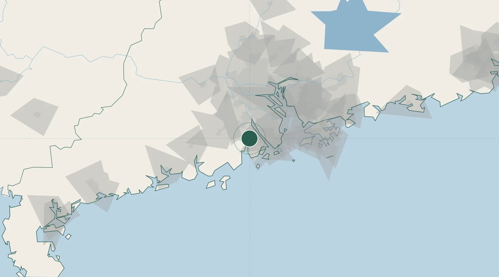
Location
Nearby Logistics Neighbours
Cities
- 1Civet / Guandong8 km
- 2Shenwan21 km
- 3Pingshaxinmatou23 km
- 4Xinhui Pt23 km
- 5Jiangmen24 km
Ports
- 1Macau46 km
- 2Zhuhai47 km
- 3Shekou78 km
- 4Guangzhou91 km
- 5Huangpuxingang92 km
Airports
DatabookThe Record of Consolidated Knowledge
China beyond logistics?