UN/LOCODE hub · China
CNZUH

Zhuhai

22.1673°, 113.4716°
2,207,090
Population
3
Transport functions

Transport Functions

Port
Rail
Road
Zhuhai is also a profiled seaport →
UN/LOCODE

Hub Profile

Place type
Provincial seat
GeoNames
Region
Guangdong
GeoNames
Population
2,207,090
GeoNames
Time zone
Asia/Shanghai
GeoNames
Elevation
35 m
GeoNames
Logistics facilities
13
UN/LOCODE

Location

Location of CNZUH
Natural Earth 10m (public domain) · Guangdong · CNZUH · 22.17, 113.47GoogleOSMYandex

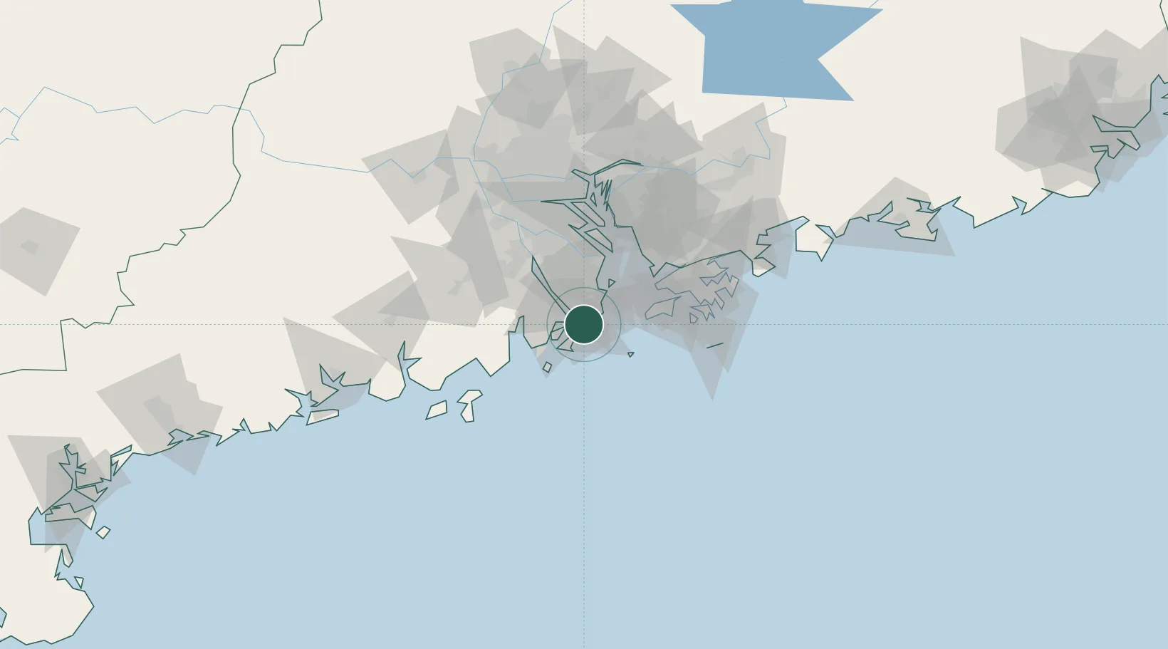
Nearby Logistics Neighbours

Cities
  1. 1Wanzai5 km
  2. 2Macau7 km
  3. 3Qianshan/Zhuhai9 km
  4. 4Doumen Pt10 km
  5. 5Sanzao18 km
Nearest neighbours — logibook spatial index (haversine) over the source coordinates
Ports
  1. 1Macau10 km
  2. 2Shekou53 km
  3. 3Hong Kong76 km
  4. 4Yantian94 km
  5. 5Huangpuxingang98 km
Nearest neighbours — logibook spatial index (haversine) over the source coordinates
Airports
  1. 1Macau International Airport13 km
  2. 2Zhuhai Jinwan Airport20 km
  3. 3Hong Kong International Airport48 km
  4. 4Shenzhen Bao'an International Airport63 km
  5. 5Shek Kong Air Base69 km
Nearest neighbours — logibook spatial index (haversine) over the source coordinates
Trade Zones
  1. 1Zhuhai Jinwan Liangang Industrial Park19 km
  2. 2Zhongshan Industrial Park44 km
  3. 3Zhongshan Industrial Park47 km
  4. 4Jiangmen Xinhui Economic Development Zone51 km
  5. 5Guangzhou Nansha Export Processing Zone60 km
Nearest neighbours — logibook spatial index (haversine) over the source coordinates
DatabookThe Record of Consolidated Knowledge
China beyond logistics?
Browse databook

All Sources

LocationsUN/LOCODE
UN/LOCODE — free
LocationsGeoNames
CC BY 4.0
Portsthe NGA World Port Index
Public domain (US gov)
AirportsOurAirports
Public domain
Trade Zonesthe World Bank SEZ database
CC BY 4.0
Trade ZonesOpen Zone Map
CC BY
← China locations