Diversified Zone · China

Xibaipo Economic Development Zone Active
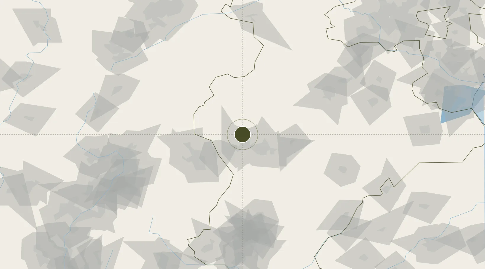
38.2439°, 114.2370°
592 ha
Zone area
322.6 km
Nearest port
40.4 km
Nearest airport

Gateway access

Nearest neighbours — logibook spatial index (haversine) over the source coordinates

Zone profile

Zone type
Diversified Zone
Open Zone Map
Region
Hebei
Open Zone Map
Status
Active
Open Zone Map
Management
Public
Open Zone Map
Operator
Management Committee of Xibaipo Economic Development Zone
Open Zone Map
Legal framework
It was established in July 2011
Open Zone Map

Location

Location of ozm-564
Natural Earth 10m (public domain) · Hebei · ozm-564 · 38.24, 114.24GoogleOSMYandex

Nearby Logistics Neighbours

Ports
  1. 1Tianjin Xin Gang323 km
  2. 2Tangshan (Jingtang)428 km
  3. 3Qinhuangdao501 km
  4. 4Longkou Gang535 km
  5. 5Rizhao571 km
Nearest neighbours — logibook spatial index (haversine) over the source coordinates
Airports
  1. 1Shijiazhuang Zhengding International Airport40 km
  2. 2Xinzhou Wutaishan Airport117 km
  3. 3Taiyuan Wusu International Airport151 km
  4. 4Shuozhou Zirun Airport176 km
  5. 5Jiugucheng Air Base185 km
Nearest neighbours — logibook spatial index (haversine) over the source coordinates
Cities
  1. 1Shijiazhuang33 km
  2. 2Xinji93 km
  3. 3Baoding129 km
  4. 4Jinzhong146 km
  5. 5Dezhou201 km
Nearest neighbours — logibook spatial index (haversine) over the source coordinates
Trade Zones
  1. 1Luquan Economic Development Zone23 km
  2. 2Xingtang Economic Development Zone30 km
  3. 3Zhengding High-tech Industrial Development Zone33 km
  4. 4Jingxing Economic Development Zone34 km
  5. 5Xinle Economic Development Zone47 km
Nearest neighbours — logibook spatial index (haversine) over the source coordinates
DatabookThe Record of Consolidated Knowledge
China beyond logistics?
Browse databook

All Sources

Trade ZonesOpen Zone Map
CC BY
Portsthe NGA World Port Index
Public domain (US gov)
AirportsOurAirports
Public domain
LocationsUN/LOCODE
UN/LOCODE — free
← China trade zones