UN/LOCODE hub · China
CNSDG

Shuidong Pt

21.7836°, 110.9533°
1
Transport functions

Transport Functions

Port
Shuidong Pt is also a profiled seaport →
UN/LOCODE

Hub Profile

Region
GD
GeoNames
Logistics facilities
4
UN/LOCODE

Location

Location of CNSDG
Natural Earth 10m (public domain) · GD · CNSDG · 21.78, 110.95GoogleOSMYandex

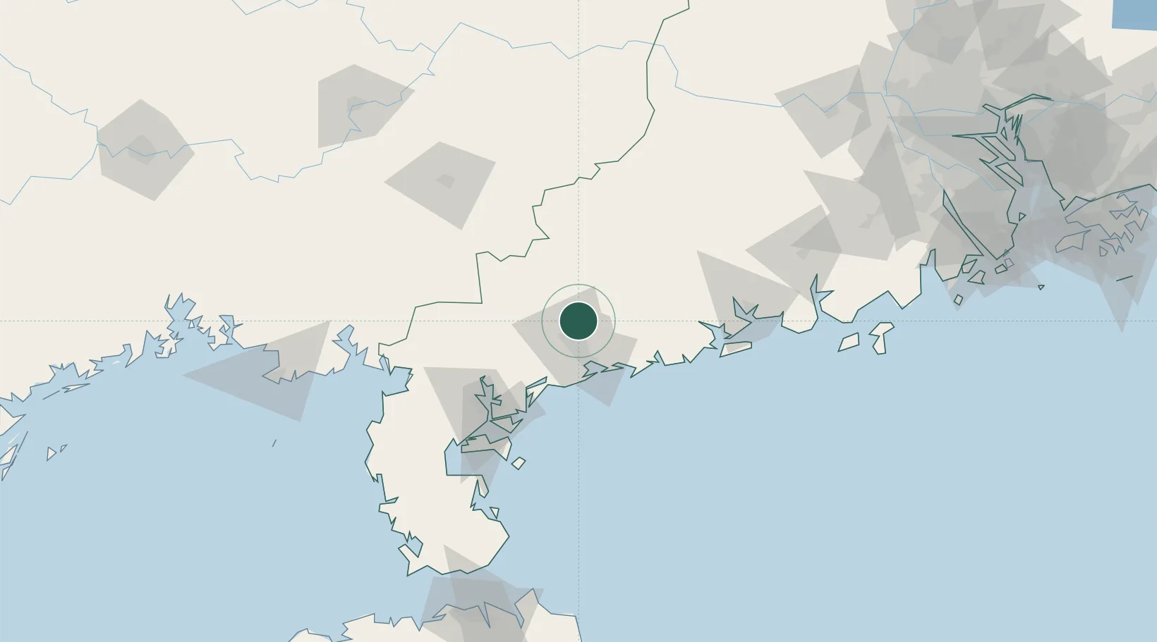
Nearby Logistics Neighbours

Cities
  1. 1Maoming25 km
  2. 2Bohe30 km
  3. 3Wuchuan43 km
  4. 4Zhanjiang44 km
  5. 5Shuikou50 km
Nearest neighbours — logibook spatial index (haversine) over the source coordinates
Ports
  1. 1Zhanjiang87 km
  2. 2Beihai198 km
  3. 3Haikou205 km
  4. 4Chiwan224 km
  5. 5Qinzhou245 km
Nearest neighbours — logibook spatial index (haversine) over the source coordinates
Airports
  1. 1Zhanjiang Wuchuan International Airport50 km
  2. 2Suixi Air Base89 km
  3. 3Yulin Fumian Airport112 km
  4. 4Beihai Fucheng Airport174 km
  5. 5Wuzhou Xijiang Airport181 km
Nearest neighbours — logibook spatial index (haversine) over the source coordinates
DatabookThe Record of Consolidated Knowledge
China beyond logistics?
Browse databook

All Sources

LocationsUN/LOCODE
UN/LOCODE — free
Portsthe NGA World Port Index
Public domain (US gov)
AirportsOurAirports
Public domain
Trade Zonesthe World Bank SEZ database
CC BY 4.0
Trade ZonesOpen Zone Map
CC BY
← China locations