Export Processing Zone · China
Huazhou Jianjiang Economic Development Zone Active
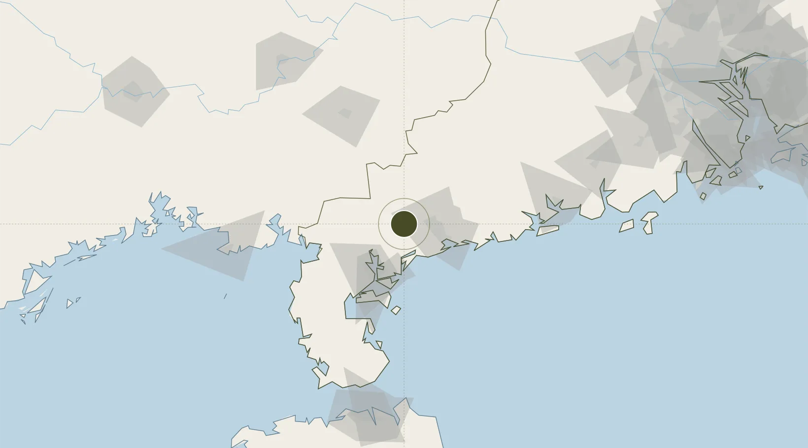
21.6708°, 110.6602°
3,800 ha
Zone area
48.5 km
Nearest port
22.2 km
Nearest airport
Gateway access
Zone profile
Zone type
Export Processing Zone
Region
Guangdong
Status
Active
Management
Public
Operator
Working Committee of Huazhou Jianjiang Economic Development Zone
Legal framework
Regulations of Guangdong Province on the Administration of Urban Controlled Detailed Planning, Detailed Controlled Planning of Huazhou Shanbei Area
Location
Nearby Logistics Neighbours
Airports
- 1Zhanjiang Wuchuan International Airport22 km
- 2Suixi Air Base57 km
- 3Yulin Fumian Airport101 km
- 4Beihai Fucheng Airport142 km
- 5Haikou Meilan International Airport194 km
Cities
- 1Wuchuan26 km
- 2Shuidong Pt33 km
- 3Maoming37 km
- 4Bohe39 km
- 5Liancheng39 km
DatabookThe Record of Consolidated Knowledge
China beyond logistics?