Channel & Berth Profile
Pilotage, Tugs & Services
Pilotage compulsoryYES
Pilotage availableYES
Tug assistanceYES
Potable waterYES
MedicalYES
Facilities & Capabilities
Container—
Ro-Ro—
Liquid bulk—
Dry bulk—
Oil terminal—
Break bulk—
Dry dock—
RepairsNO
BunkeringYES
Rail link—
Dangerous cargo—
ISPS security—
Harbour Specifications
Harbour size
Very Small
Harbour type
Coastal (Natural)
Shelter
Fair
Water body
South China Sea; North Pacific Ocean
Tidal range
1 m
Overhead limit
Yes
Pilotage
Yes
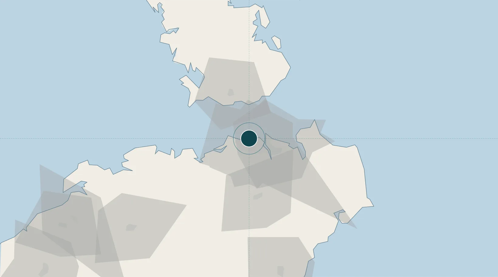
Location
Nearby Logistics Neighbours
Cities
- 1Haikou3 km
- 2Macun30 km
- 3Dongjiaotou Pt34 km
- 4Dongguo70 km
- 5Qinglan Pt79 km
Airports
- 1Haikou Meilan International Airport22 km
- 2Jialaishi Air Base70 km
- 3Qionghai Bo'ao Airport103 km
- 4Suixi Air Base150 km
- 5Zhanjiang Wuchuan International Airport162 km
DatabookThe Record of Consolidated Knowledge
China beyond logistics?