Transport Functions
Port
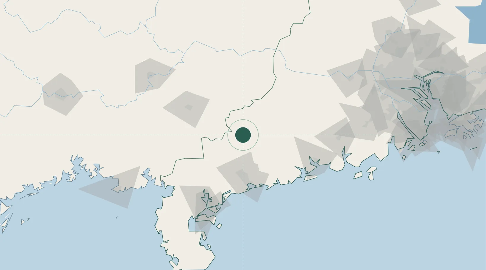
Hub Profile
Place type
Local administrative seat
Region
Guangdong
Time zone
Asia/Shanghai
Elevation
68 m
Location
Nearby Logistics Neighbours
Cities
- 1Shuidong Pt50 km
- 2Jiugang66 km
- 3Maoming75 km
- 4Bohe80 km
- 5Lingcheng81 km
Airports
- 1Yulin Fumian Airport87 km
- 2Zhanjiang Wuchuan International Airport91 km
- 3Suixi Air Base120 km
- 4Wuzhou Xijiang Airport131 km
- 5Guiping Mengxu Air Base155 km
DatabookThe Record of Consolidated Knowledge
China beyond logistics?