Transport Functions
Port
Road
Hub Profile
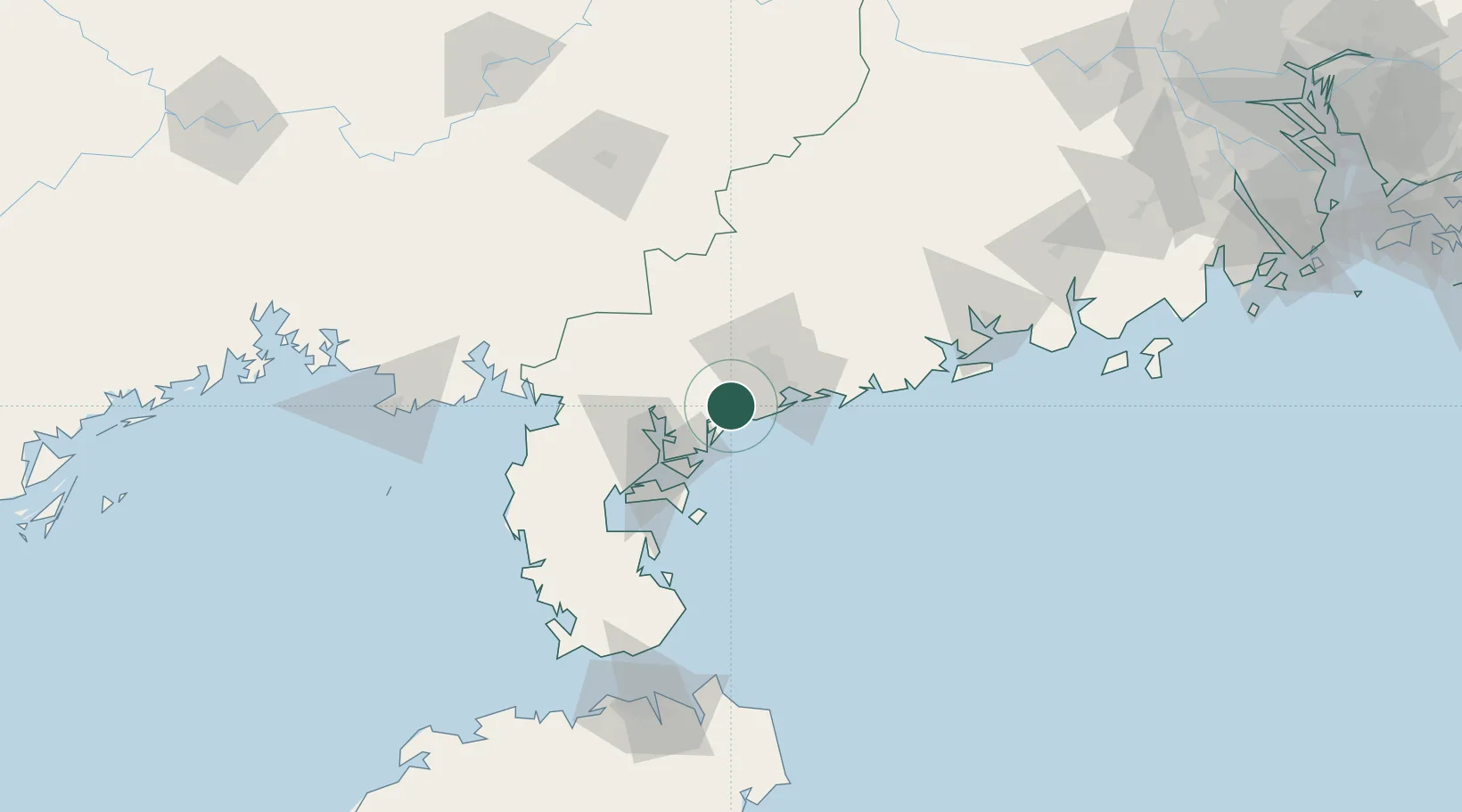
Place type
Populated place
Region
Guangdong
Population
104,168
Time zone
Asia/Shanghai
Elevation
7 m
Location
Nearby Logistics Neighbours
Cities
- 1Bohe27 km
- 2Maoming29 km
- 3Zhanjiang40 km
- 4Shuidong Pt43 km
- 5Chikan48 km
Airports
- 1Zhanjiang Wuchuan International Airport17 km
- 2Suixi Air Base57 km
- 3Yulin Fumian Airport127 km
- 4Beihai Fucheng Airport151 km
- 5Haikou Meilan International Airport171 km
DatabookThe Record of Consolidated Knowledge
China beyond logistics?