UN/LOCODE hub · China
CNDBX

Bohe

21.5167°, 111.0000°
1
Transport functions

Transport Functions

Port
UN/LOCODE

Hub Profile

Place type
Local administrative seat
GeoNames
Region
Guangdong
GeoNames
Time zone
Asia/Shanghai
GeoNames
Elevation
7 m
GeoNames

Location

Location of CNDBX
Natural Earth 10m (public domain) · Guangdong · CNDBX · 21.52, 111.00GoogleOSMYandex

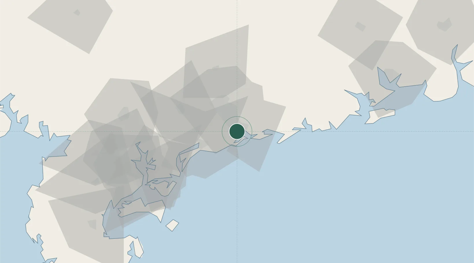
Nearby Logistics Neighbours

Cities
  1. 1Maoming6 km
  2. 2Zhanjiang17 km
  3. 3Wuchuan27 km
  4. 4Shuidong Pt30 km
  5. 5Shapa50 km
Nearest neighbours — logibook spatial index (haversine) over the source coordinates
Ports
  1. 1Shui Dong9 km
  2. 2Zhanjiang71 km
  3. 3Haikou179 km
  4. 4Chiwan200 km
  5. 5Beihai200 km
Nearest neighbours — logibook spatial index (haversine) over the source coordinates
Airports
  1. 1Zhanjiang Wuchuan International Airport43 km
  2. 2Suixi Air Base84 km
  3. 3Yulin Fumian Airport136 km
  4. 4Beihai Fucheng Airport177 km
  5. 5Haikou Meilan International Airport185 km
Nearest neighbours — logibook spatial index (haversine) over the source coordinates
DatabookThe Record of Consolidated Knowledge
China beyond logistics?
Browse databook

All Sources

LocationsUN/LOCODE
UN/LOCODE — free
Portsthe NGA World Port Index
Public domain (US gov)
AirportsOurAirports
Public domain
Trade Zonesthe World Bank SEZ database
CC BY 4.0
Trade ZonesOpen Zone Map
CC BY
← China locations