UN/LOCODE hub · China
CNZHA

Zhanjiang

21.4233°, 111.1315°
1,400,709
Population
3
Transport functions

Transport Functions

Rail
Road
Airport
UN/LOCODE

Hub Profile

Place type
Provincial seat
GeoNames
Region
Guangdong
GeoNames
Population
1,400,709
GeoNames
Time zone
Asia/Shanghai
GeoNames
Elevation
16 m
GeoNames
Logistics facilities
20
UN/LOCODE

Location

Location of CNZHA
Natural Earth 10m (public domain) · Guangdong · CNZHA · 21.42, 111.13GoogleOSMYandex

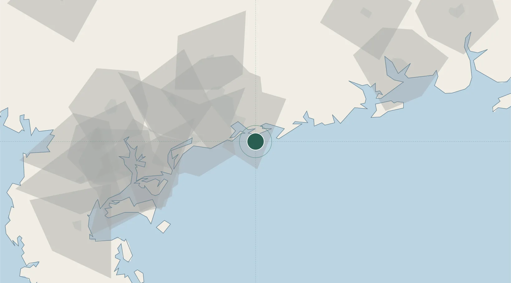
Nearby Logistics Neighbours

Cities
  1. 1Bohe17 km
  2. 2Maoming21 km
  3. 3Shapa37 km
  4. 4Wuchuan40 km
  5. 5Shuidong Pt44 km
Nearest neighbours — logibook spatial index (haversine) over the source coordinates
Ports
  1. 1Shui Dong8 km
  2. 2Zhanjiang80 km
  3. 3Haikou176 km
  4. 4Chiwan198 km
  5. 5Beihai214 km
Nearest neighbours — logibook spatial index (haversine) over the source coordinates
Airports
  1. 1Zhanjiang Wuchuan International Airport56 km
  2. 2Suixi Air Base97 km
  3. 3Yulin Fumian Airport153 km
  4. 4Haikou Meilan International Airport180 km
  5. 5Beihai Fucheng Airport191 km
Nearest neighbours — logibook spatial index (haversine) over the source coordinates
DatabookThe Record of Consolidated Knowledge
China beyond logistics?
Browse databook

All Sources

LocationsUN/LOCODE
UN/LOCODE — free
LocationsGeoNames
CC BY 4.0
Portsthe NGA World Port Index
Public domain (US gov)
AirportsOurAirports
Public domain
Trade Zonesthe World Bank SEZ database
CC BY 4.0
Trade ZonesOpen Zone Map
CC BY
← China locations