Medium airport · China

Beihai Fucheng AirportZGBH
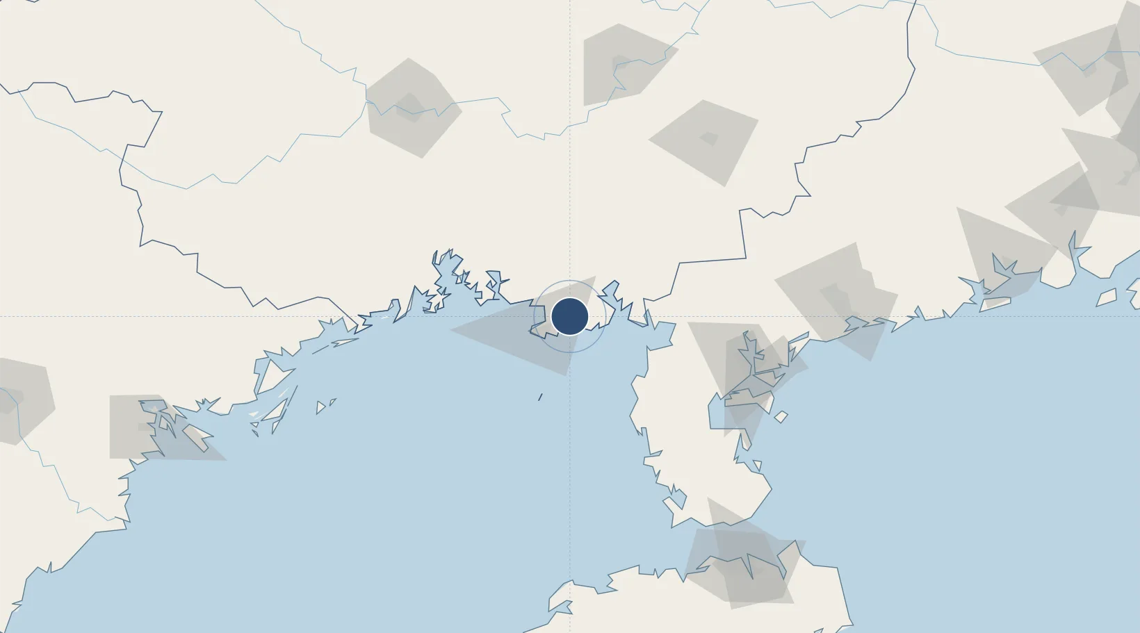
21.5387°, 109.2937°
10,499 ft
Longest runway
1
Runways
75 ft
Elevation

Runway & Layout

Beihai Fucheng Airport runway & taxiway layout
Runway & taxiway layout — OpenStreetMap (ODbL) / OurAirports

Runways · 1

RunwayDimensions SurfaceTrue headingLit
01/19 10,499 × 148ft concrete 011°
OurAirports

Airport Specifications

IATA code
BHY
OurAirports
ICAO code
ZGBH
OurAirports
Airport class
Medium airport
OurAirports
Scheduled service
Yes
OurAirports
Runway surface
concrete
OurAirports
Served city
Beihai
OurAirports

Location

Location of ZGBH
Natural Earth 10m (public domain) · Guangxi · ZGBH · 21.54, 109.29GoogleOSMYandex

Nearby Logistics Neighbours

Airports
  1. 1Suixi Air Base95 km
  2. 2Yulin Fumian Airport131 km
  3. 3Zhanjiang Wuchuan International Airport134 km
  4. 4Nanning Wuxu International Airport164 km
  5. 5Van Don International Airport200 km
Nearest neighbours — logibook spatial index (haversine) over the source coordinates
Cities
  1. 1Beihai11 km
  2. 2Beihai Pt20 km
  3. 3Shitoubu Pt27 km
  4. 4Qinzhou31 km
  5. 5Anpu59 km
Nearest neighbours — logibook spatial index (haversine) over the source coordinates
Ports
  1. 1Beihai24 km
  2. 2Qinzhou77 km
  3. 3Fang-Cheng100 km
  4. 4Zhanjiang121 km
  5. 5Shui Dong185 km
Nearest neighbours — logibook spatial index (haversine) over the source coordinates
Trade Zones
  1. 1Hepu Industrial Park12 km
  2. 2Linha Industrial Zone (Tieshan Port)14 km
  3. 3Beihai Export Processing Zone24 km
  4. 4Beibu Gulf Economic Zone60 km
  5. 5Qinzhou Port Economic Development Zone74 km
Nearest neighbours — logibook spatial index (haversine) over the source coordinates
DatabookThe Record of Consolidated Knowledge
China beyond logistics?
Browse databook

All Sources

AirportsOurAirports
Public domain
Portsthe NGA World Port Index
Public domain (US gov)
LocationsUN/LOCODE
UN/LOCODE — free
Trade Zonesthe World Bank SEZ database
CC BY 4.0
Trade ZonesOpen Zone Map
CC BY
InfrastructureOpenStreetMap
ODbL 1.0
← China airports