Export Processing Zone · China
Potou District Science and Technology Industrial Park Active
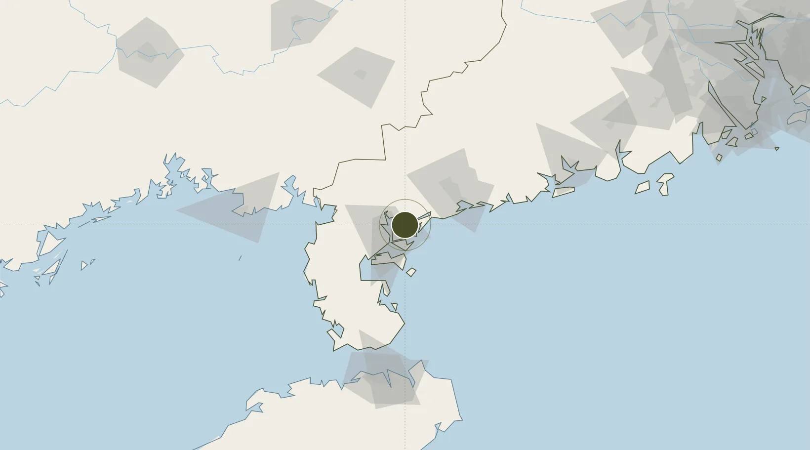
21.3297°, 110.5369°
417 ha
Zone area
20.2 km
Nearest port
17.8 km
Nearest airport
Gateway access
Zone profile
Zone type
Export Processing Zone
Region
Guangdong
Status
Active
Management
Private
Operator
Working Committee of Potou District Science and Technology Industrial Park
Legal framework
ICP no. 14051695
Control detailed planning of Guandu Park, Technology Industrial Park, Potou District, Zhanjiang
Location
Nearby Logistics Neighbours
Airports
- 1Zhanjiang Wuchuan International Airport18 km
- 2Suixi Air Base36 km
- 3Yulin Fumian Airport130 km
- 4Beihai Fucheng Airport131 km
- 5Haikou Meilan International Airport155 km
Cities
- 1Chikan22 km
- 2Wuchuan26 km
- 3Zhanjiang Pt28 km
- 4Beitan30 km
- 5Liancheng41 km
DatabookThe Record of Consolidated Knowledge
China beyond logistics?